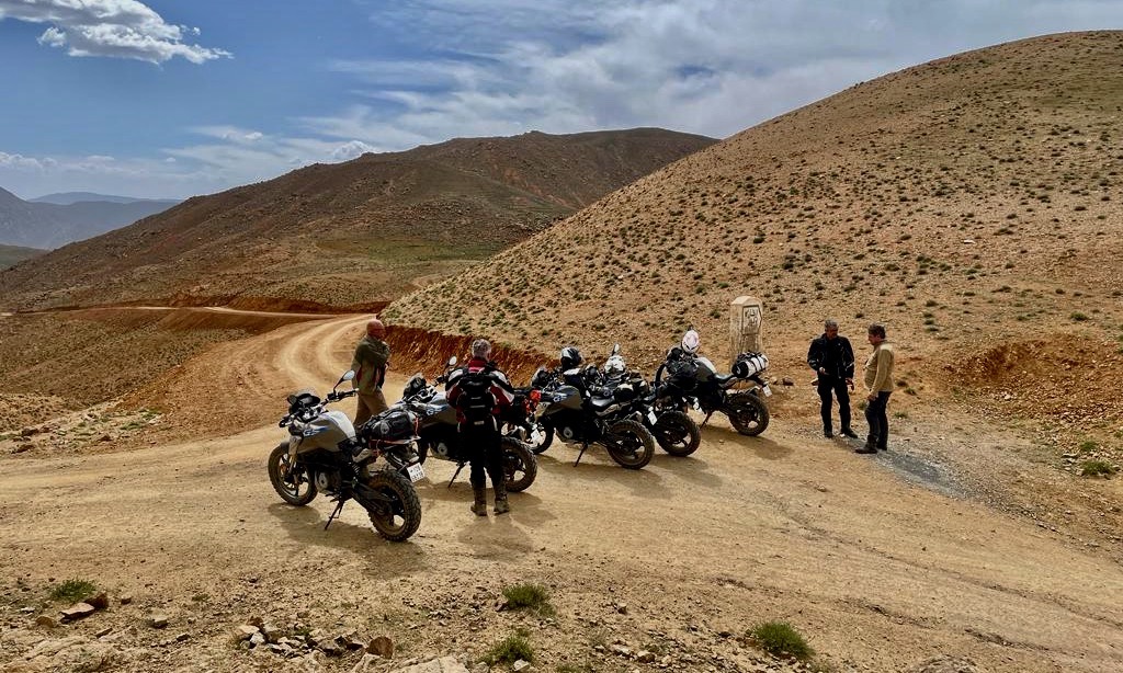
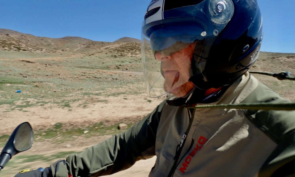
After my two spring fly & ride one-weekers I decide to continue riding for a few more days and log some new tracks for my Morocco guidebook. We tried this in a 4×4 Duster in February but that was a wash-out due to the previous week’s bad weather. Now in April, Ramadan was not proving a problem so, depending on energy levels and the heat, I’d try and pack another six days in.
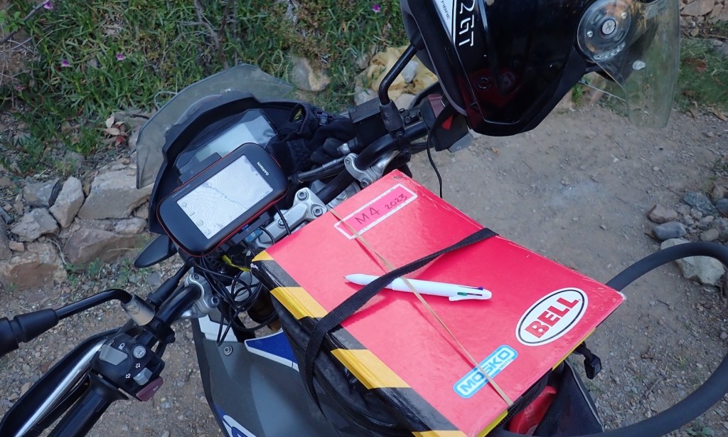
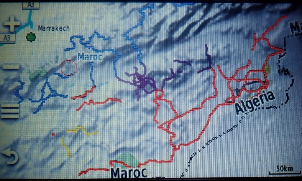
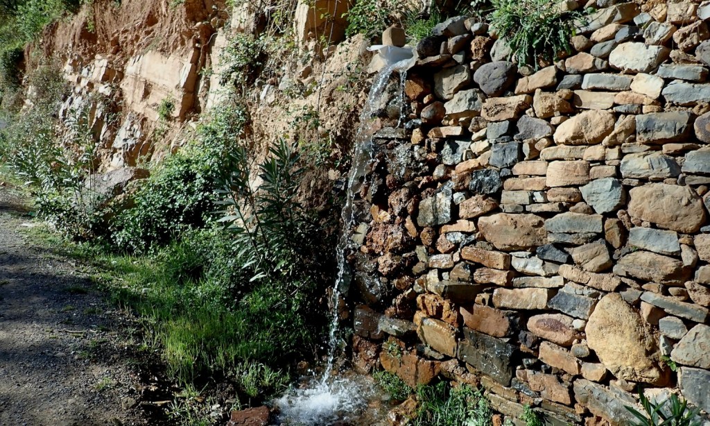
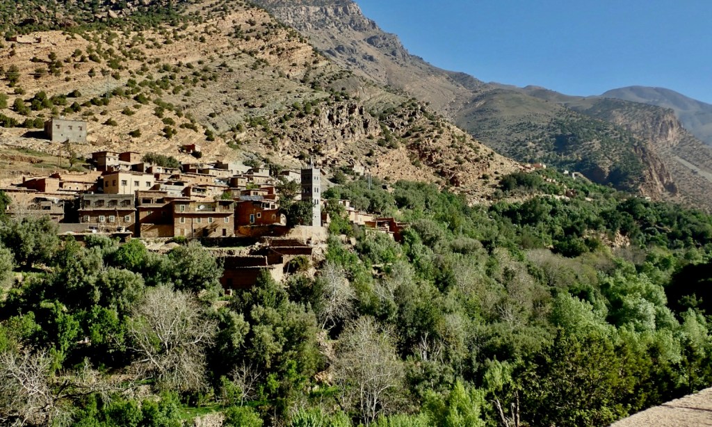
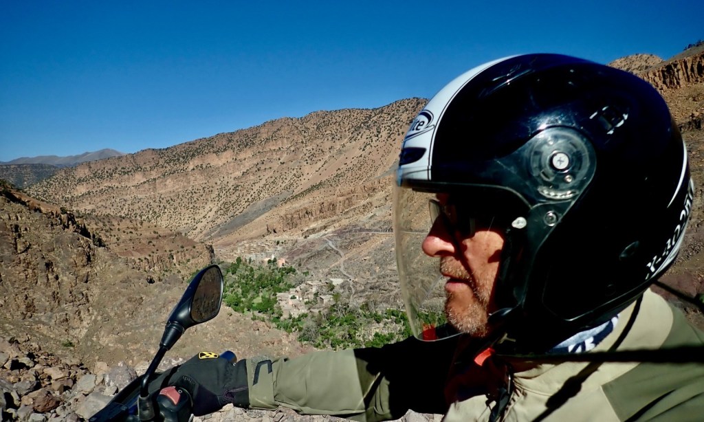
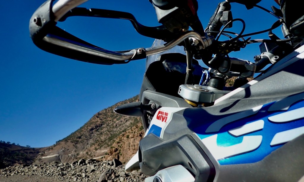
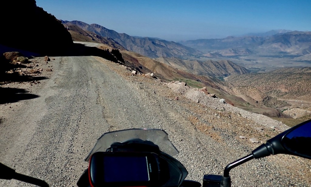
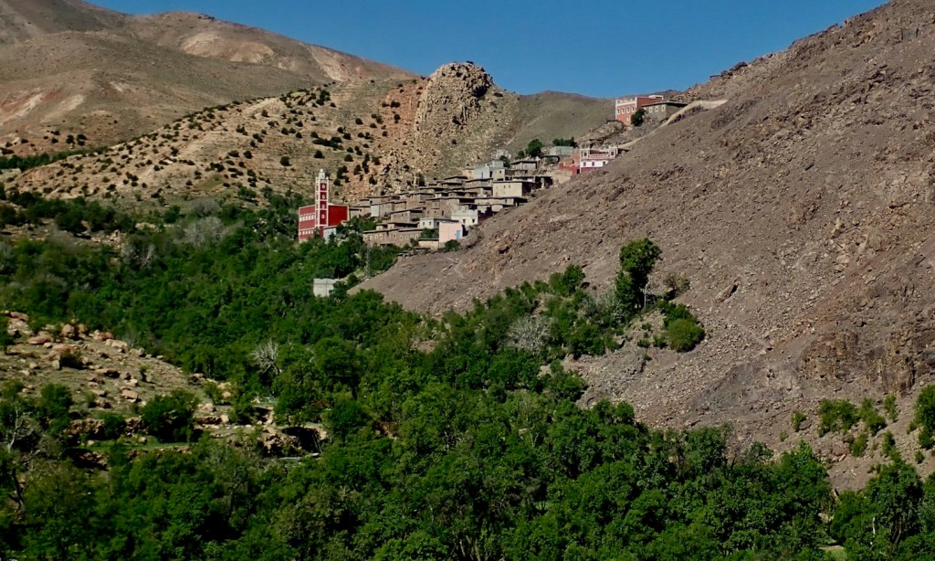
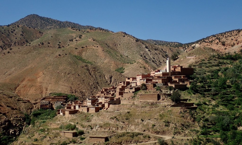
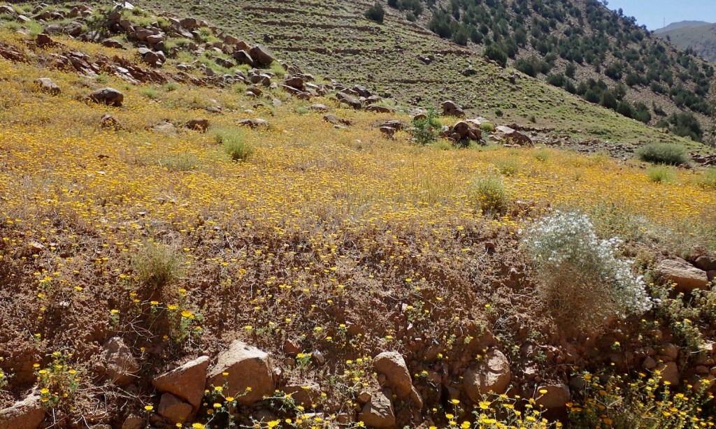
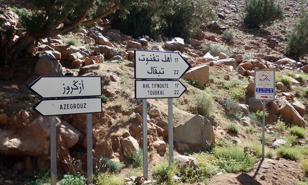
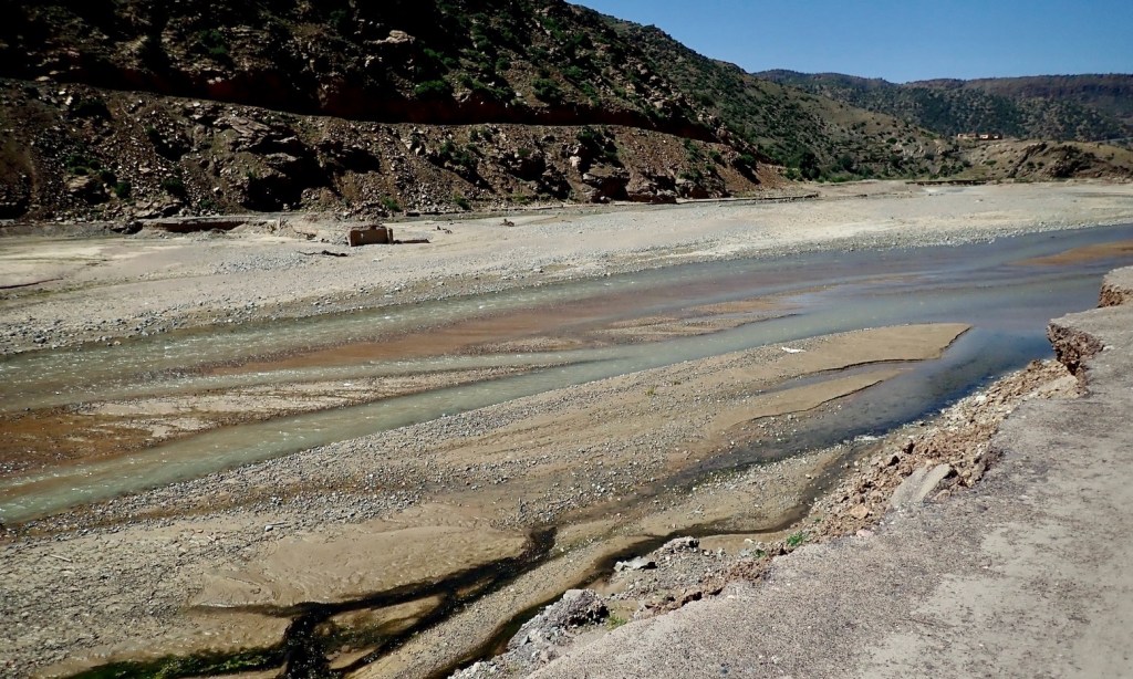
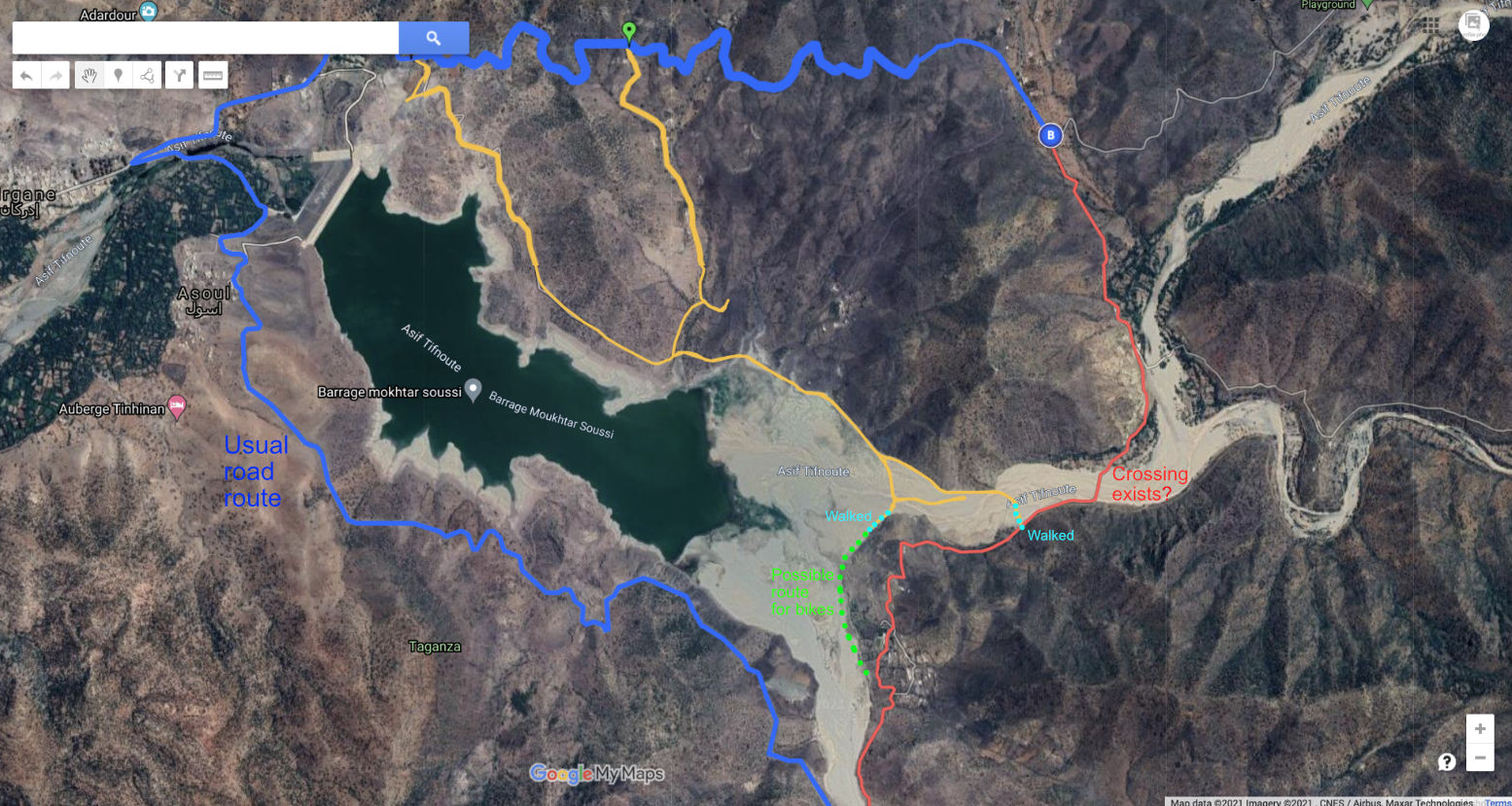
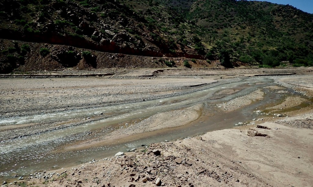
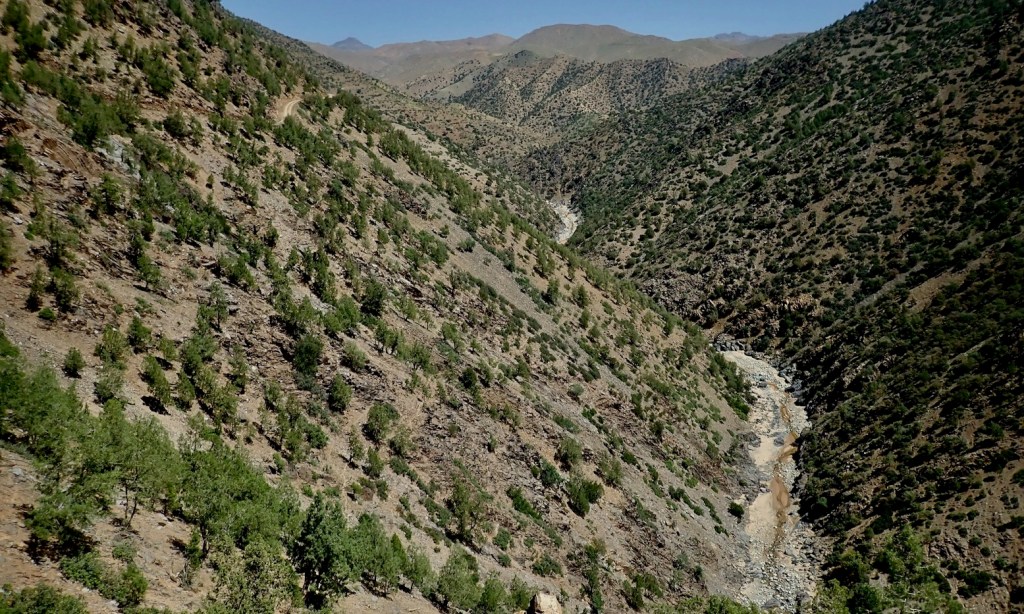
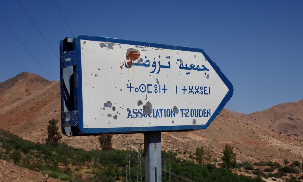
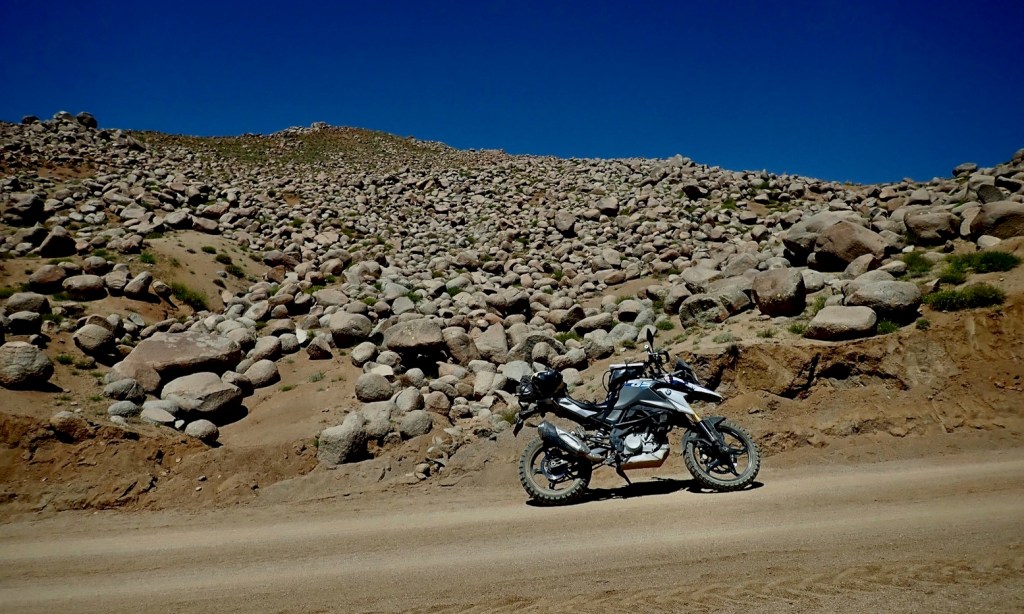
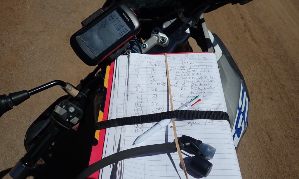
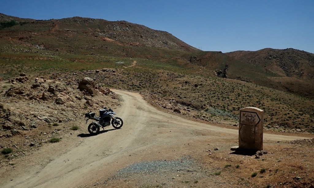
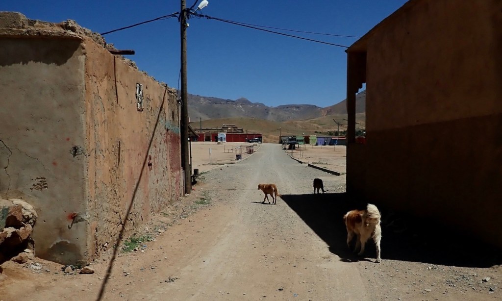
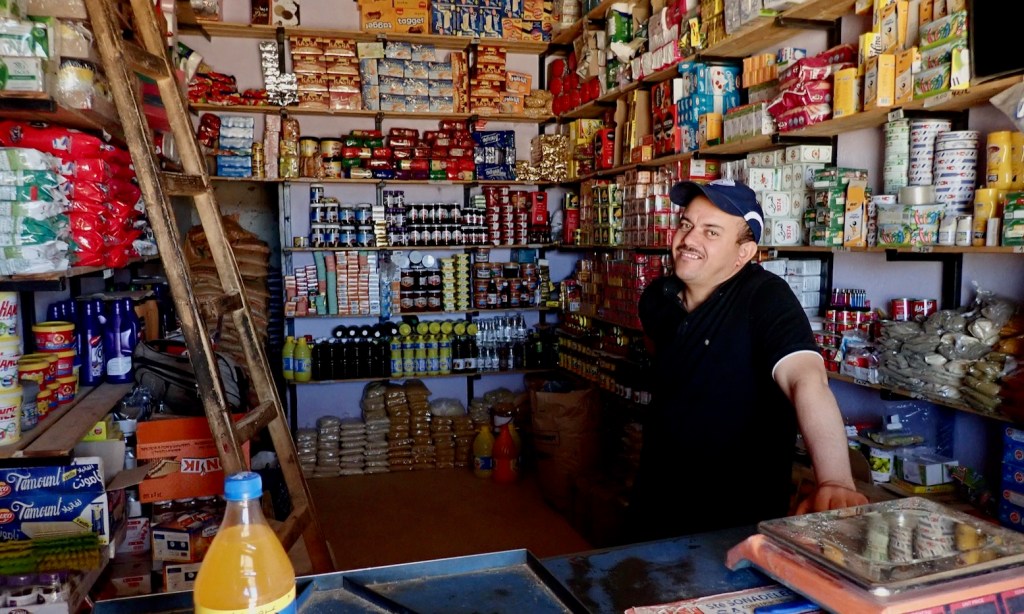
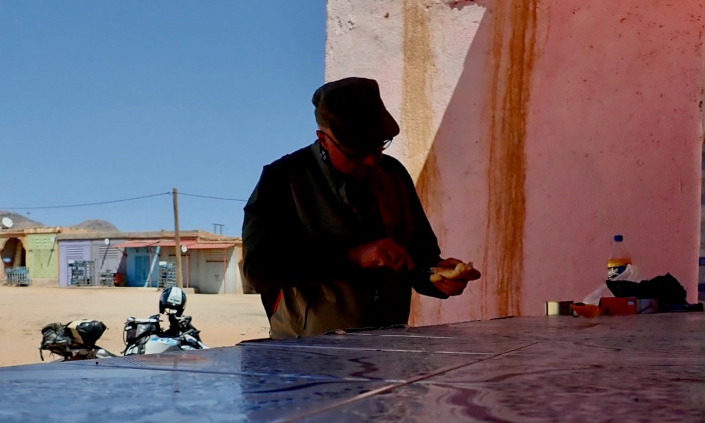
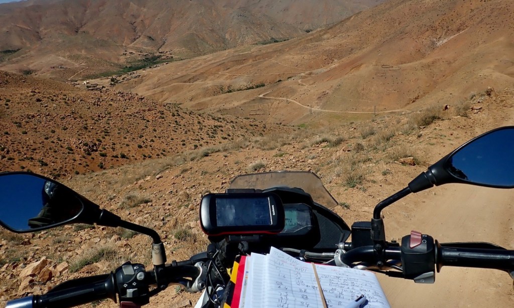
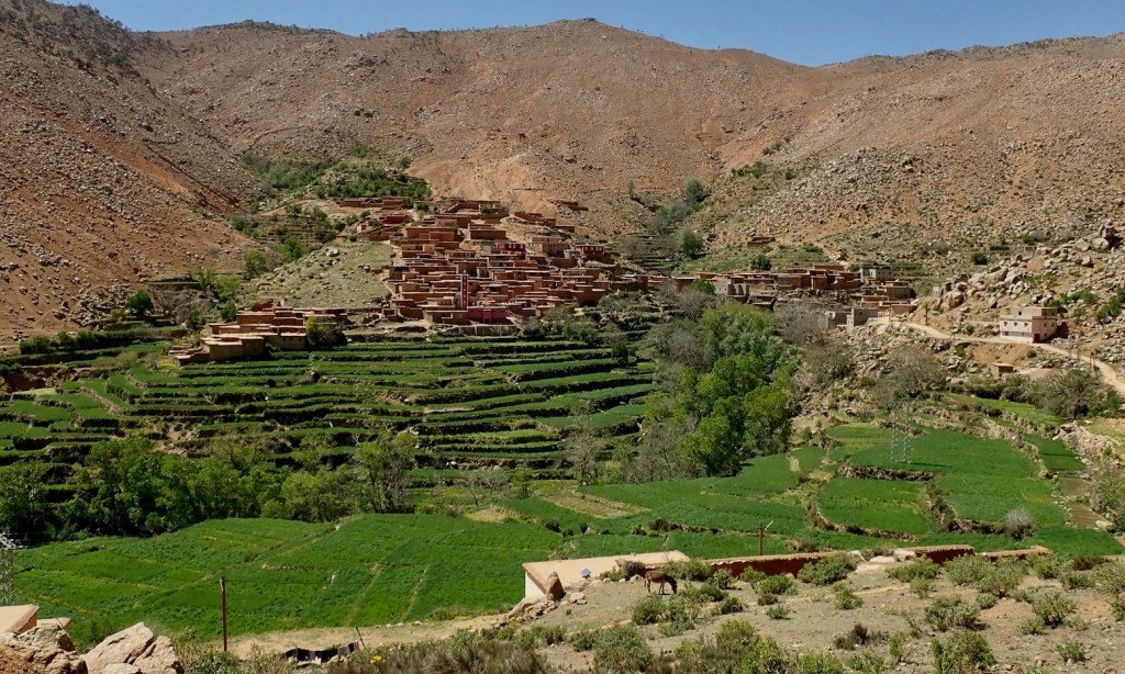
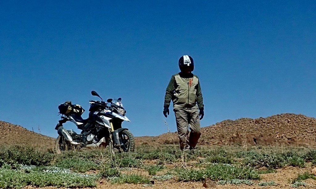
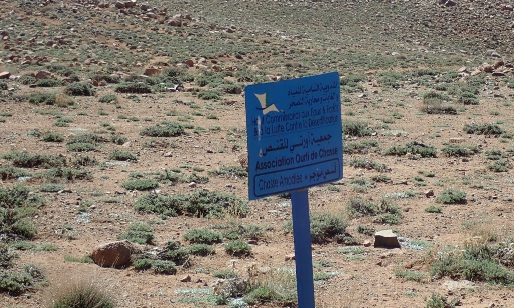
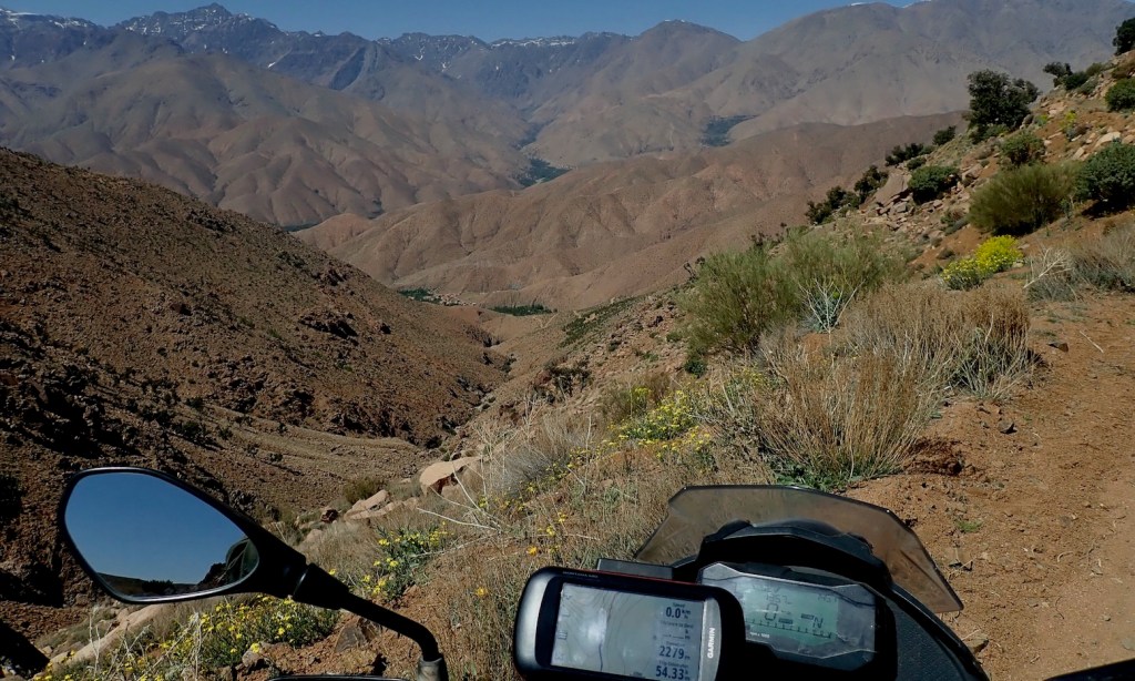
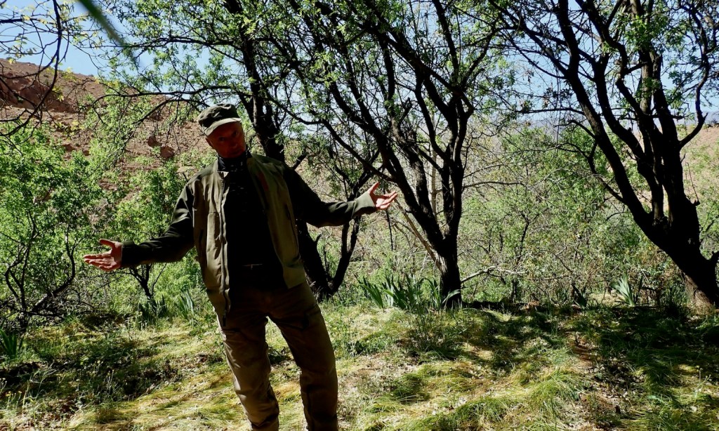
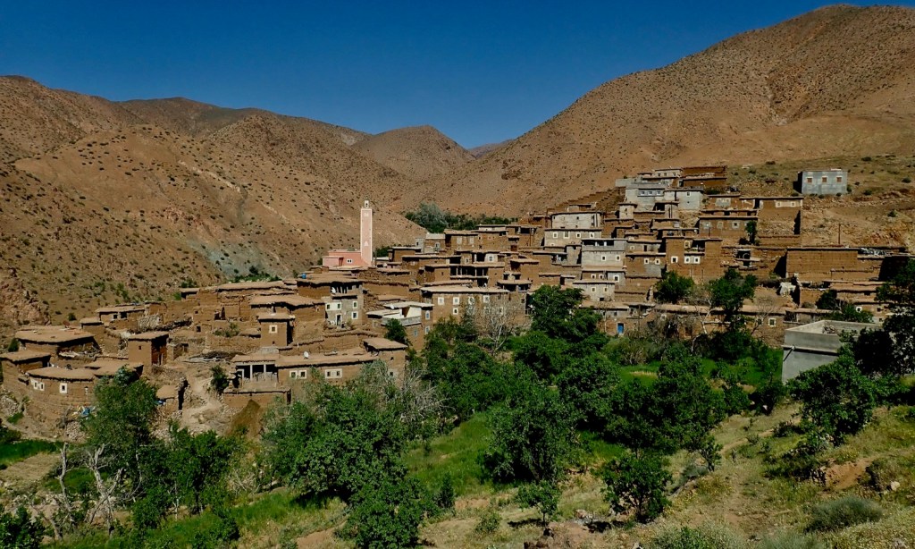
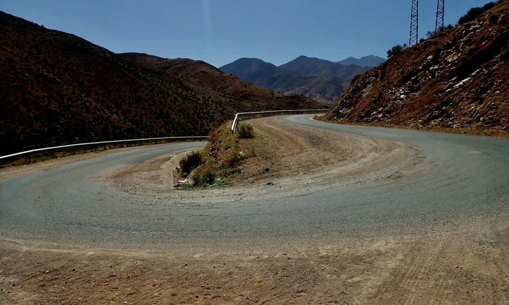
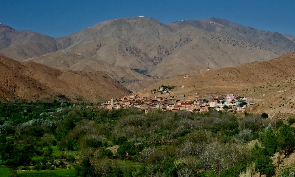
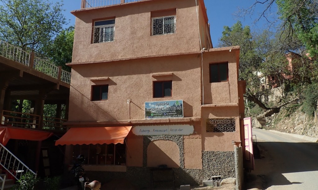
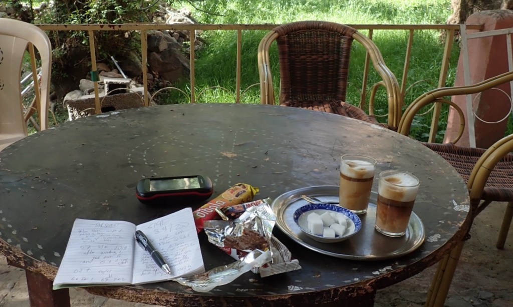
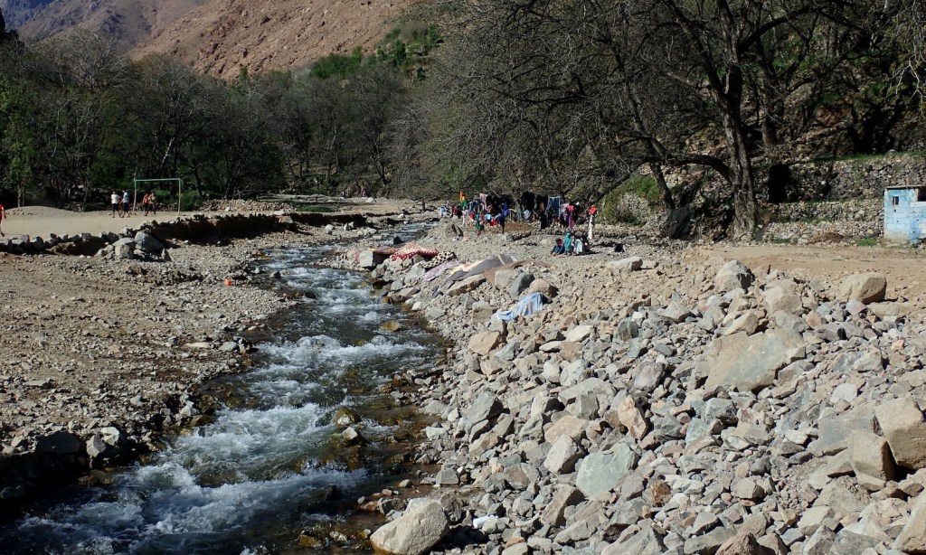
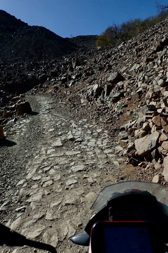
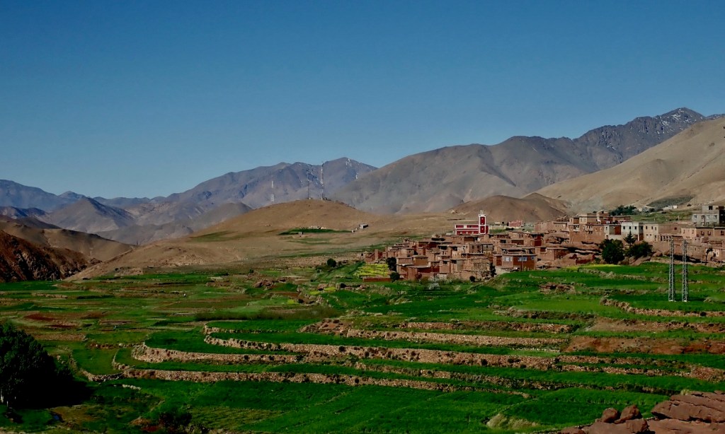
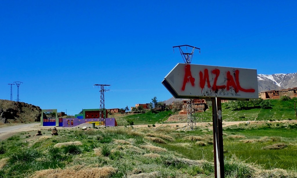
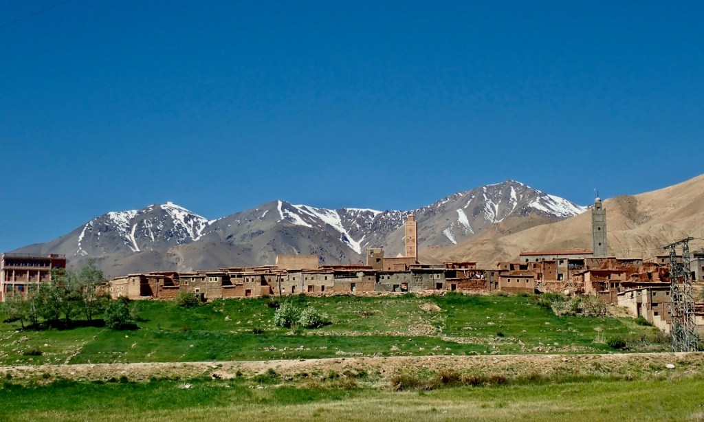
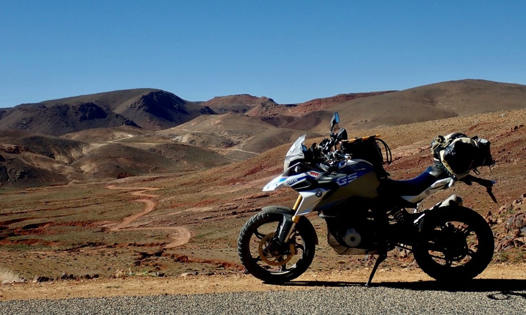
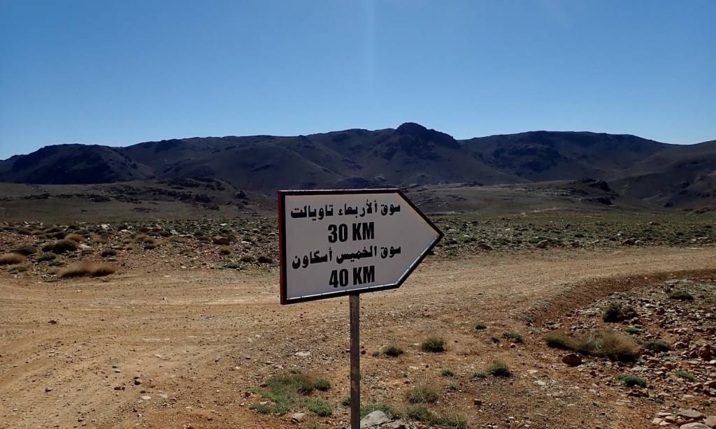
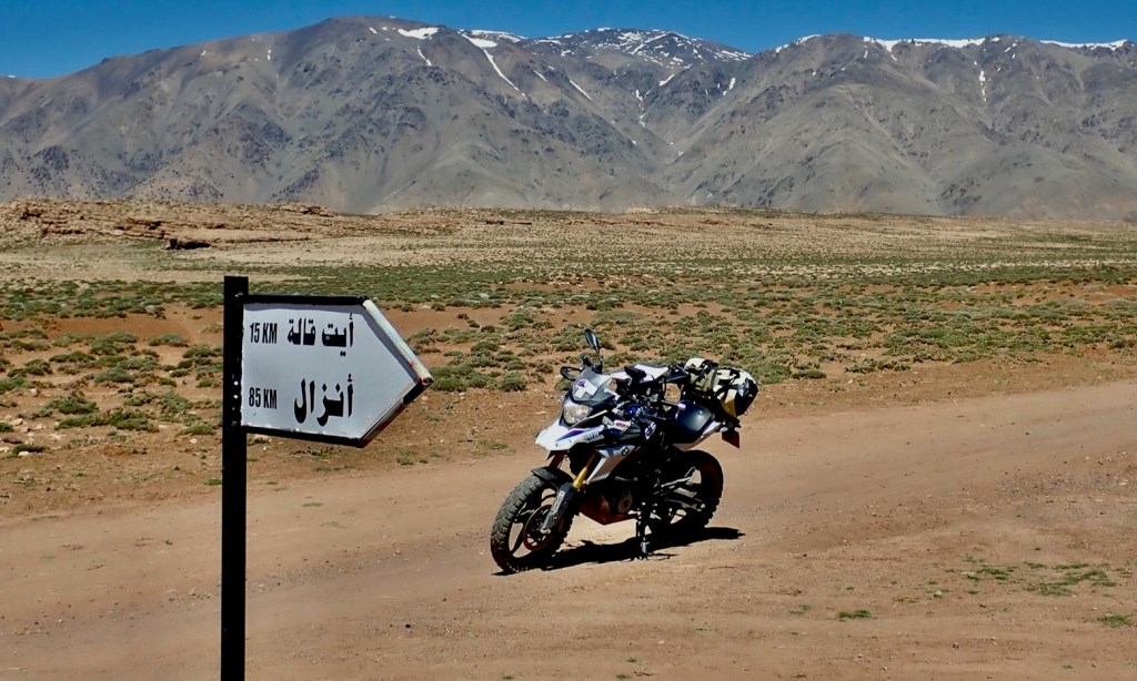
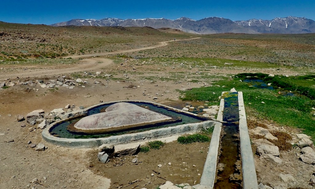
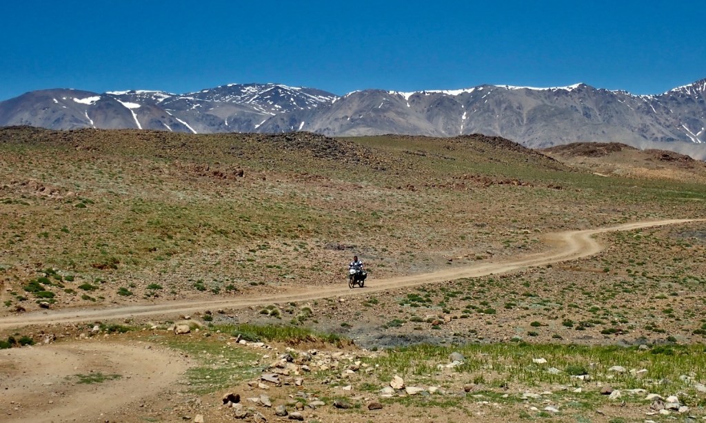
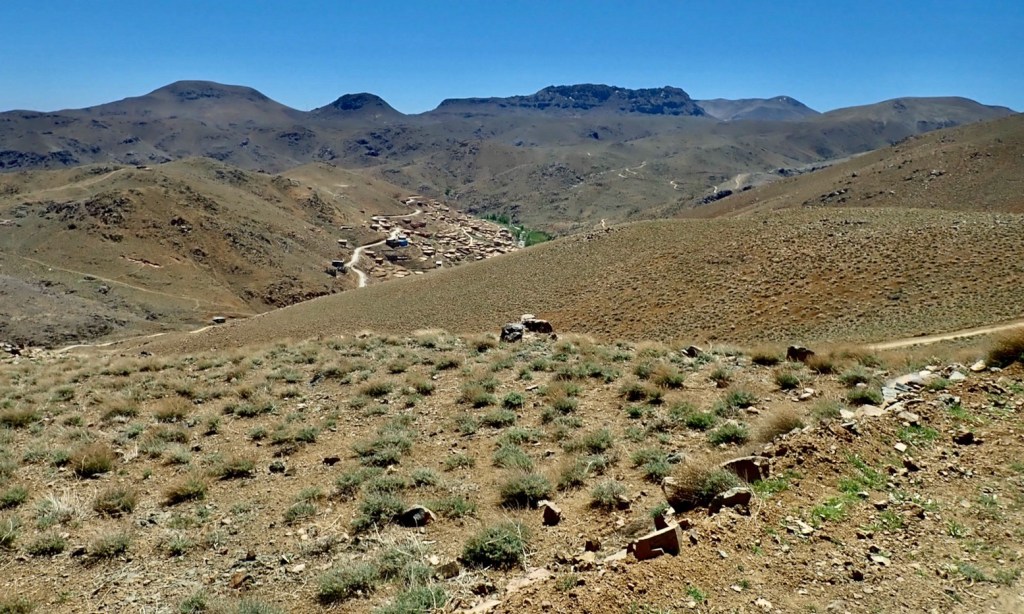
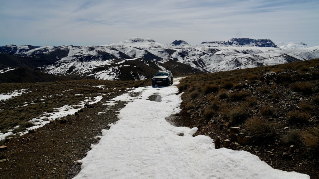
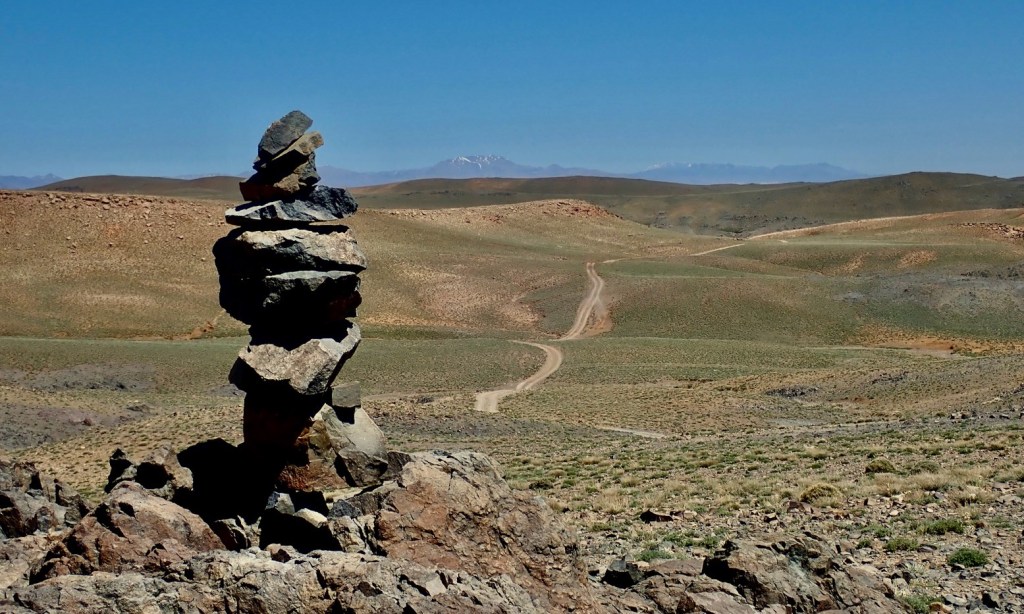
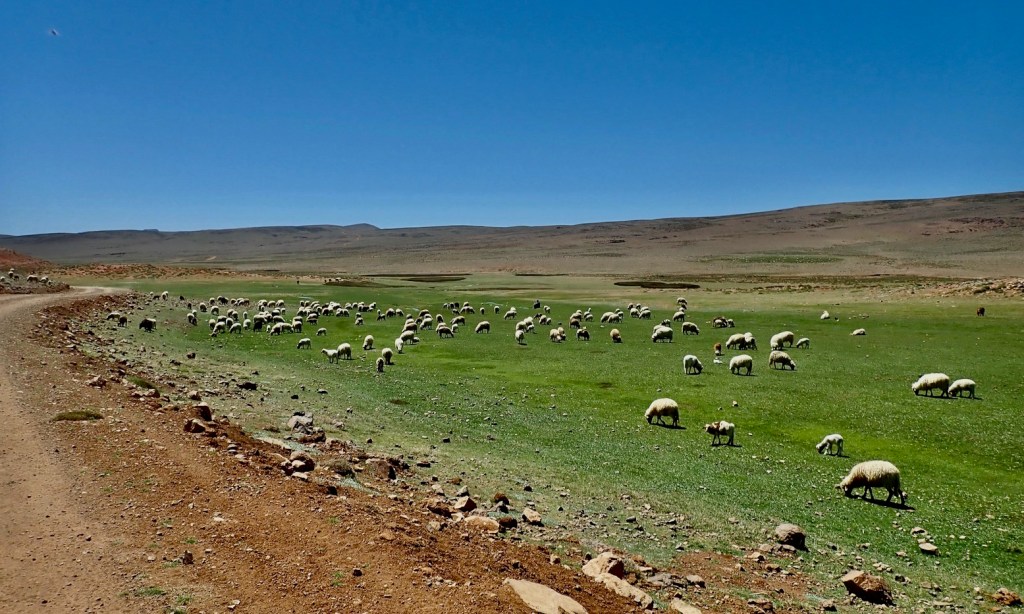
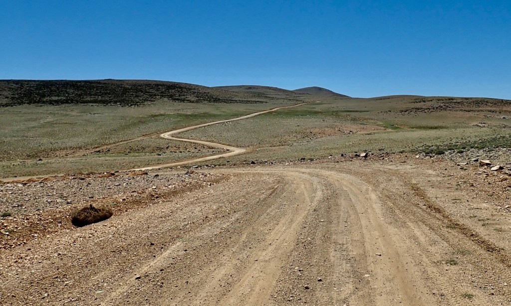
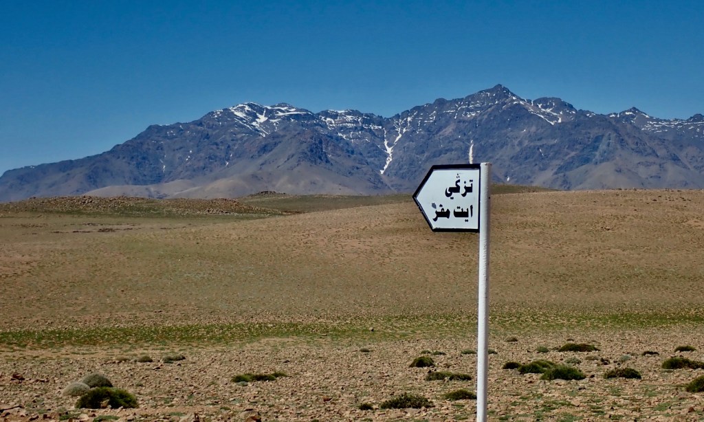
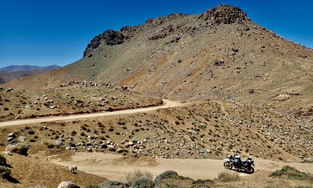
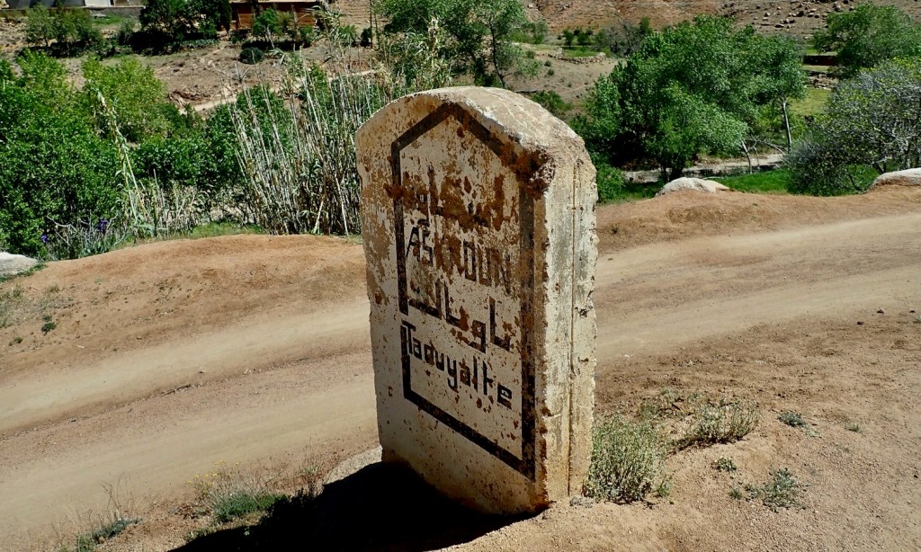
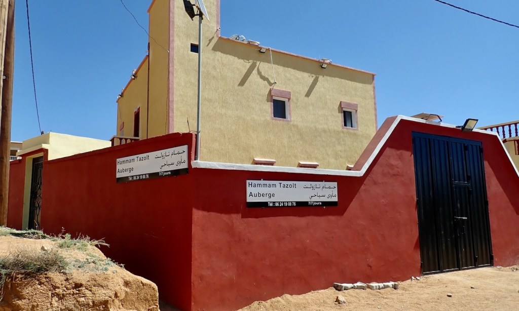
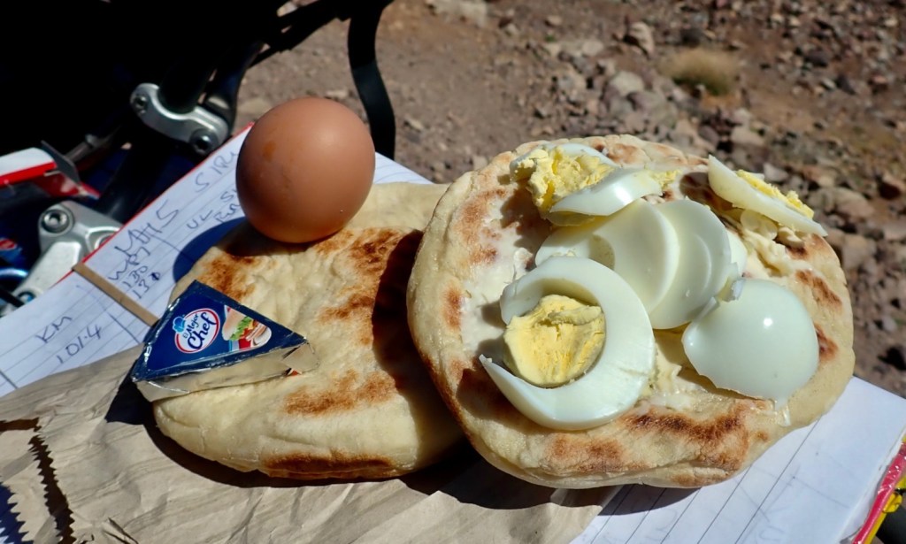
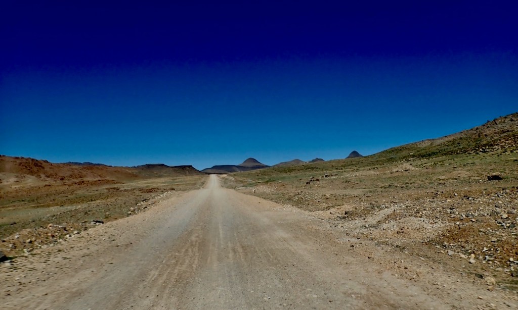
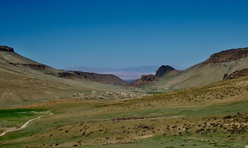
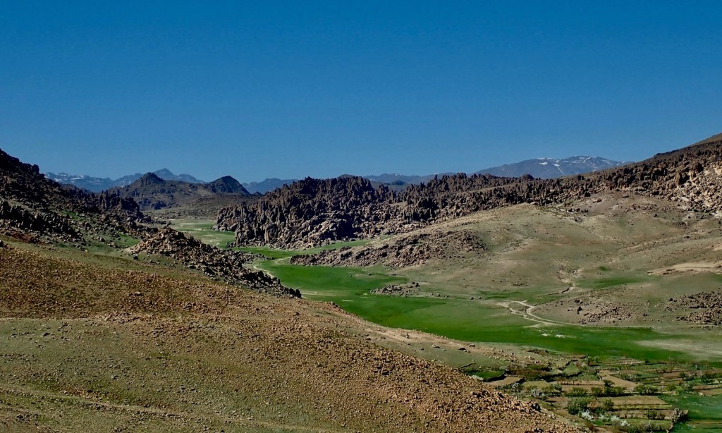
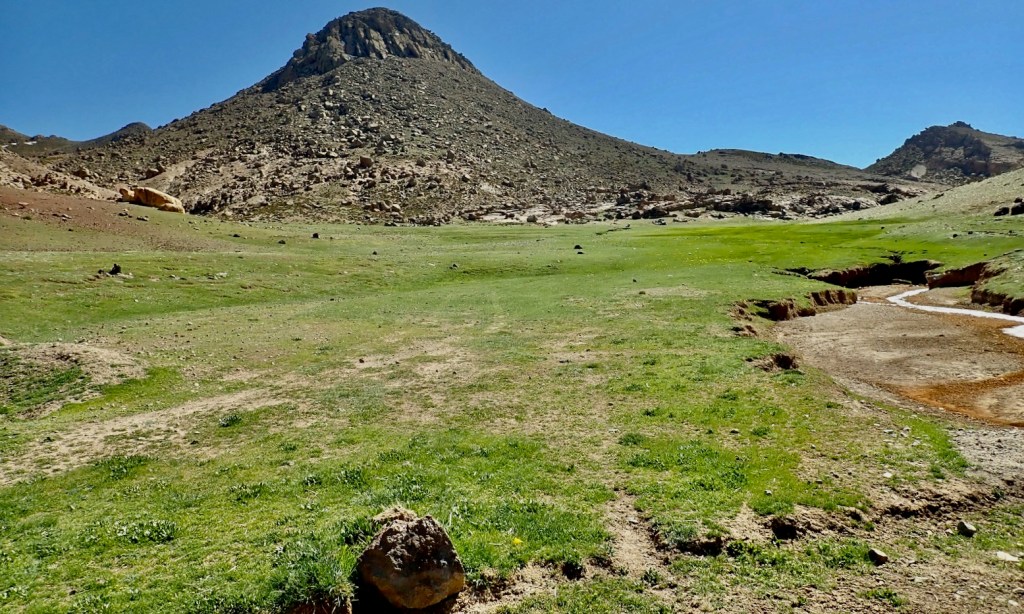
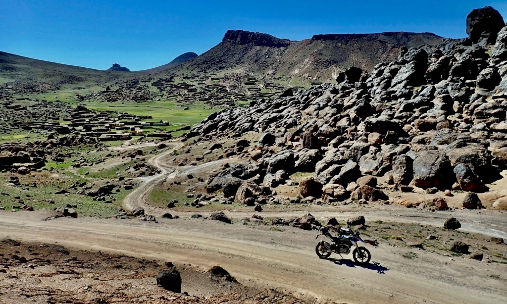
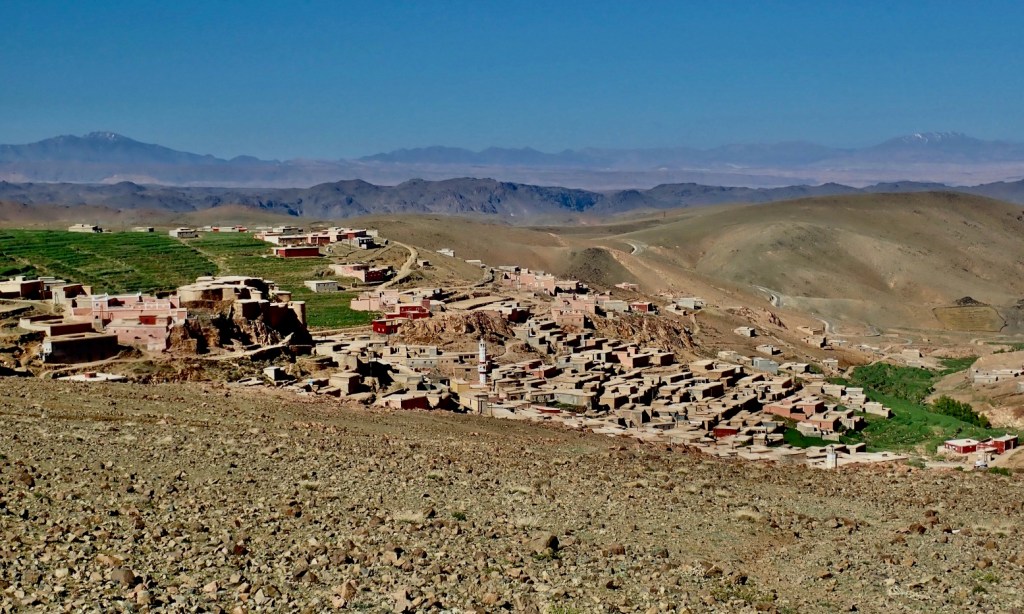
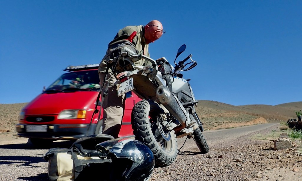
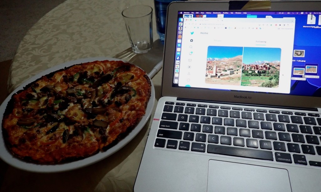
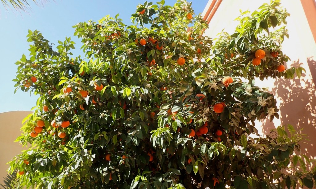
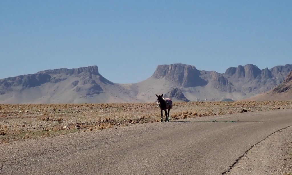
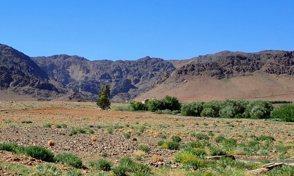
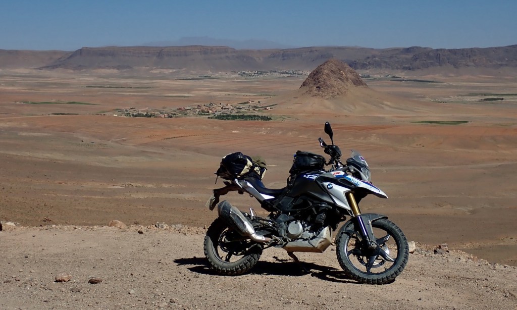
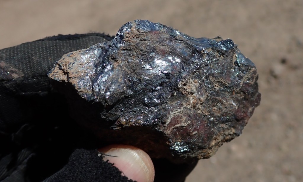
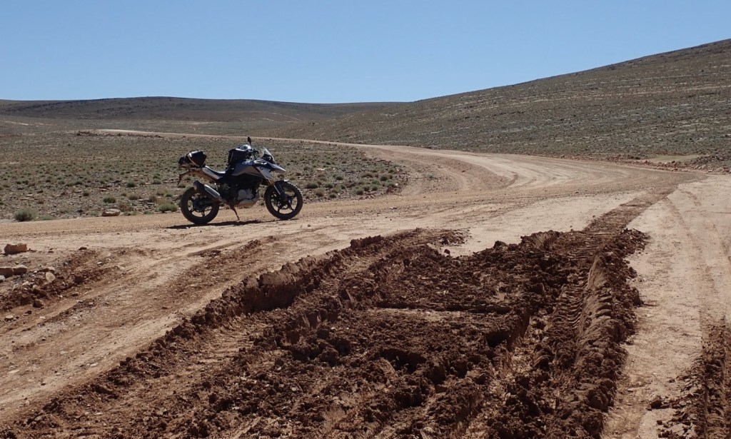
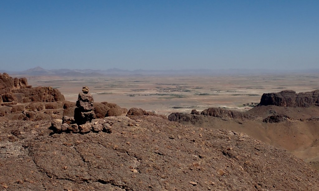
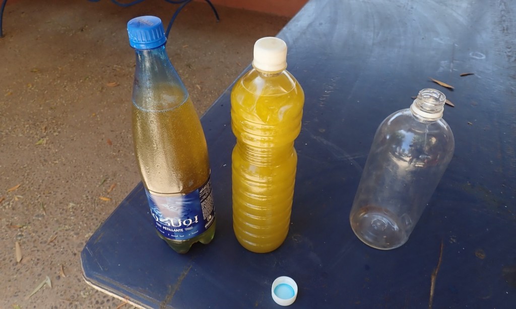
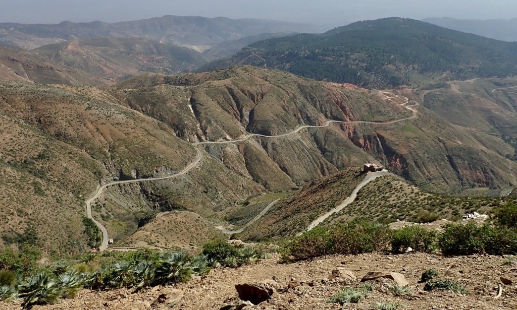
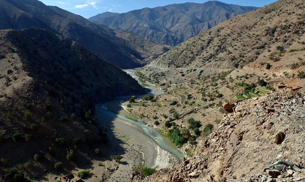
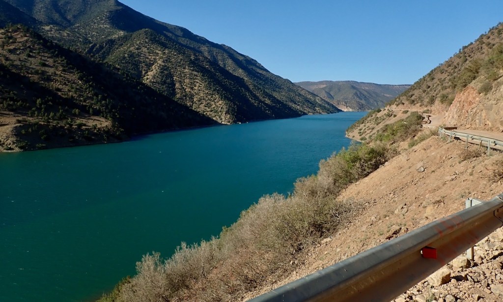
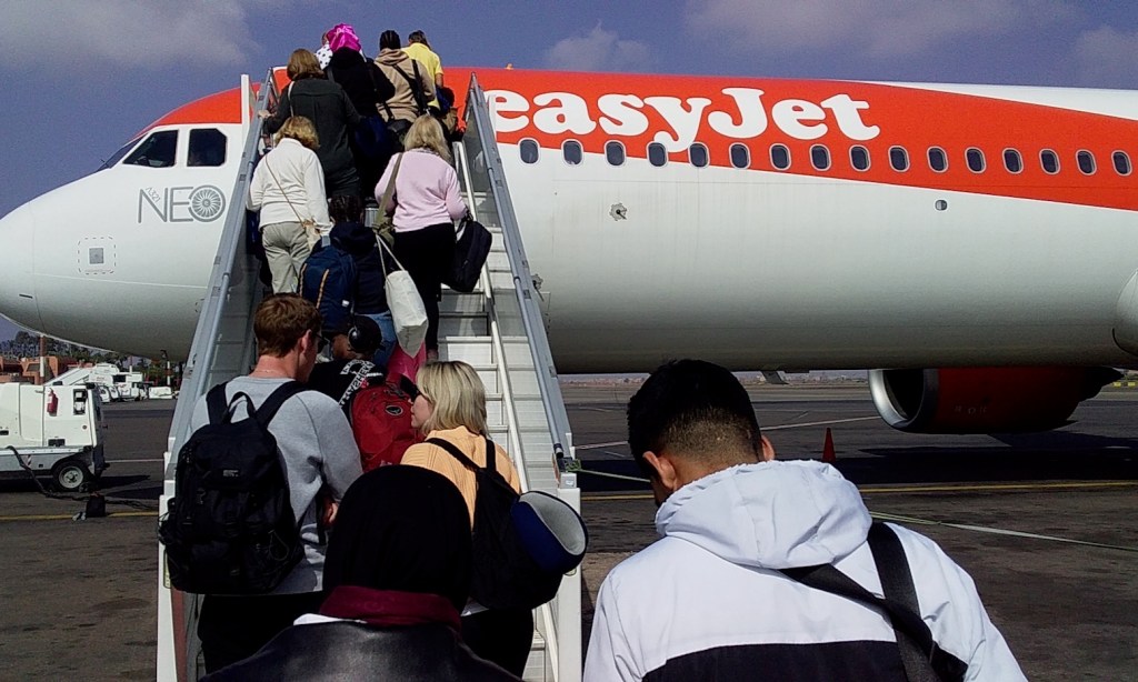
It’s not just simply recording a GPS tracklog; I need to jot down details and annotate waypoints, etc.There’s weeks of riding to do; I’m just concentrating on the blue area left (western High Atlas) and maybe the purple area (Jebel Saro).It rained in February and water’s still streaming from the hillsidesHigh Atlas villageI ride out of Ijoukak along my regular tour routeSigh, another day on a 310GS but wishing it was a 300L (soon it will be)Up at the 2550-metre watershed (8400′) it’s balmy.High Atlas village 2And another. I should make a series of postcardsWildflowers are out. Spring is here and will be greener than normalI’m heading for Toubkal, but not along this road near Igli. I’ll take a much longer track through the hills.I can’t resist nipping down to the Assif Tifnoute river. Crossing this to make a fun short cut has been a fixation of mine for years. As you can see the concrete ford got washed out long ago. Here’s a map I drew in 2021 when I was here on the Africa Twin. ‘Crossing exists?’ is the washed-out ford and to which the answer is: ‘not really’.An alternative crossing developed just downstream. We were on that far bank a few weeks ago in the Duster, but a new flood-carved bank on this side is now a few feet high. Slithering down it to the river bed, the crossing could be done, but today it’s too hot to try on a podgy 310 as I’ll not be able to get back upThat done, I head back north up a parallel valley, following a new routeAnywhere the mountainous terrain permitted a bit of cultivation (good soil; water), a village developed. I suspect this all happened around the Arab invasion in the late 7th century when the Berbers fled to the hills. Before that there were much easier places to farm.Soon the bedrock turns to granite; granite sand is nice stuff to ride; the hard angular quartz grains lock up to make good grip compared to rounded sandstone grains. Well, that’s my theory. A hot backwind blows up the valley; I’m wilting and the fan is humming. I barely ride 10 minutes without a jotting stopResult! I reach the three-way junction …… I located with the group a week ago, but from another direction.The deserted market square of Taouyalte. I like it when distinctive online aerial imagery translates into a tangible place Chummy chappy in the village shop; I buy bread, tuna and a litre of sugar-saturated orange liquideThey say it’s impolite for tourists to eat conspicuously during Ramadan daytime, but there’s no one around. They’re all at home siesting till dusk.I continue northward, higher up into the arid hillsA green splash of barley terracingI hop off to water some high-altitude shrubs.These blue hunting signs often appear at high points or cols; here about 2300m or 7500′A big, steep 700-m descent down to the Toubkal roadNear the bottom I find a shady glade for a bit of a break and a shrugAnmid (unless I am very much mistaken) Soon I rejoin the road. Left is less than 20km back to Igli, but I’ve had a great dirt ride taking the long way roundAssarag (Ahl Tifnoute), or maybe Toubkal (like the 4167-m mountain nearby)It’s 3pm in Amsouzart and I am shagged out; that’s me done for the dayBut after a double nous-nous (‘half-half’, my new favorite coffee) and a selection of sugary snacks…… I power on up the dead-end valley for a look-see. While the river flows, the laundry driesI’d hoped to check out Lac Ifni as I’ll never be closer. I get to the base of the track but matey in the gite told me it’s a 2-hour return walk. With these knees? I don’t think soNext day I need fuel if I’m to head back into the hills. The nearest station is Aguim, 50km, on the Marrakech roadTurn off to Anezal? Interesting…Classic High Atlas vistasBacktracking from Agium with another 300km in the tank, I reach Three Mast Pass and the old MH8 trackDistances to probably Taouyalte and Askaoun. I can manage thatSoon I reach a junction where I want to link to a route we tried in the DusterYou’ve heard of the Love Shack, well this is the Love Trough, same thing but for sheep.Adventure motorcycling? No, just nipping over to see his granAit Qalla below where the road resumesSame-ish spot in February where we got snowed back around 2200m and were unsure if worse lay aheadLonesome cairnBack at the junction, I turn south into the lush ‘Limestone Basin’ I recall from 2008. The only place you’ll see proper grass like this in Morocco is well above 2000 metres or on an oligarch’s lawnAn easy track unrolls south across the plateauNext time I’ll go down there. I bet it links up.I reach the col, now back again on granite sandsAnother old milepost with familiar village namesThis could be a handy auberge; there isn’t another for hoursIn Askaoun I nip into the village shop for some yummy flatbreads and eggs for a tankbag picnicThe once gnarly MH5 track around the top of Jebel Sirwa is now a wide haul road. Thank the new silver mine, nearbyMy Mosko Surveyor jacket staves off the sub-Alpine chillGreat views from up here down to the Ouarzazate basinLooking back towards ToubkalGreat spot for a grassy camp alongside a trickling streamBasaltic rockeryThe track has been rerouted down behind Amassine village where I close the loop on the Ait Qalla roadSlow flat on the front but no nail. Bent rim? Had that on the tour the other week. OddPizza in the Bab Sahara in Tazenakht. Spent many happy nights with the lovely folks hereLovely scent off this orange tree in the evenings. Oh to be an insect!Ominous donkey below the ‘Timouka’ Pass – actually Tizi Haround 1830mA secret track winds up that valley. More about that laterI find another obscure ascent over the Issil escarpment that proves to be in good shape tooGraphite?Over the top and round the back I pin down a key junctionI’d love to carry on but need to return home early. I build a cairn above the passBack down in Taliouine, Hamid sourced me some nutty, extra virgin argan oil at 40 quid a litre! The chilled EVOO comes freeThe amazing climb up to the Tizi n Test; just right on a 310GS or similarOn the north side of the Test, following the February rains this river… The epicentre of the earthquake which struck a few months later was just a few miles from here.… filled up this near empty reservoir in a matter of weeks. That’s Marrakech set up for the summerI drop off the 310 and head for the airport. Can’t wait to get back on my new bike and carry on exploring, but it’ll be too hot by the time I can get there. I’ll have to wait till October.

Brilliant thanks!
LikeLike