
XSR 700 Scrambler index page
See also: Dawn to Dusk part 1
• XSR700 7500-mile review
See also: Dawn to Dusk part 1
In mid-summer 2018 I rode my XSR Scrambler from Wales via Ireland to Tarbert on the Kintyre peninsula of southwest Scotland got published in RIDE magazine.
Here is the rest of the story and the missing photos.
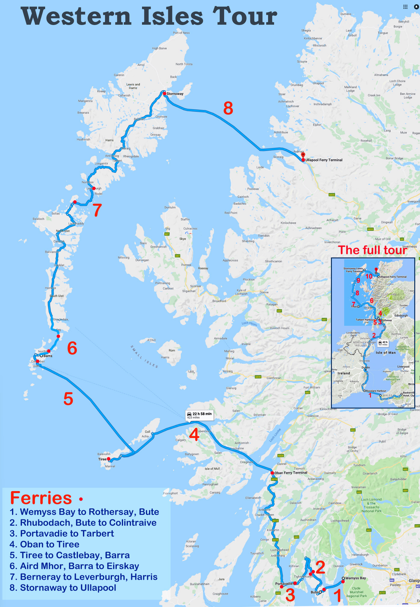
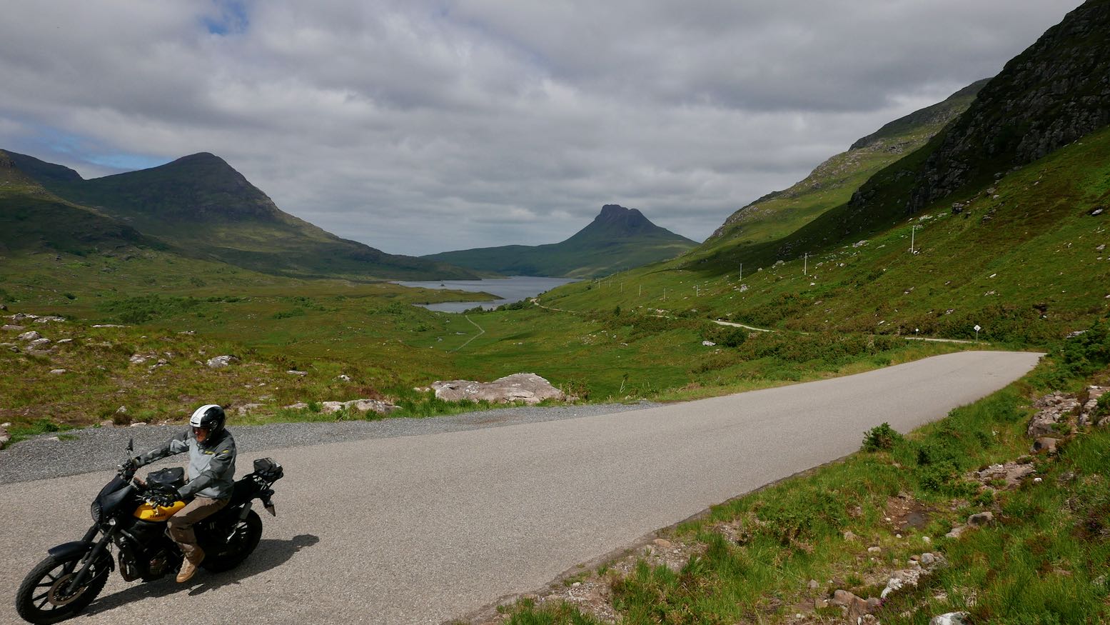
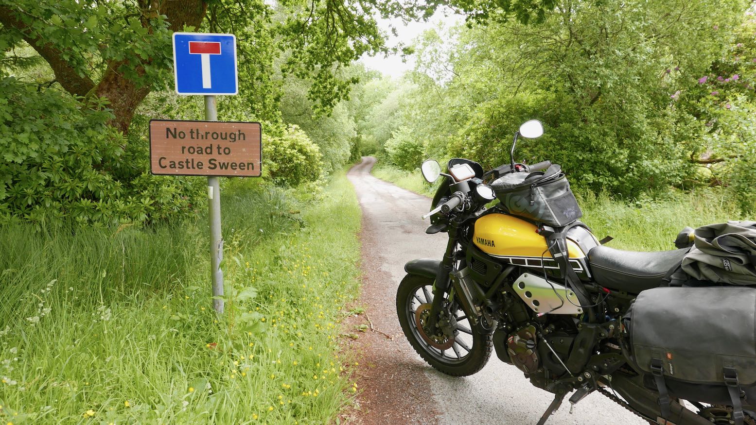
West of Tarbert a single-track road wraps round the Knapdale peninsula to face the isle of Jura where a dying George Orwell wrote 1984 in the late 1940s. Riding along the B8024, I passed the huge and sinister-named Landcatch Natural Selection fish farm towards Loch Caolisport.
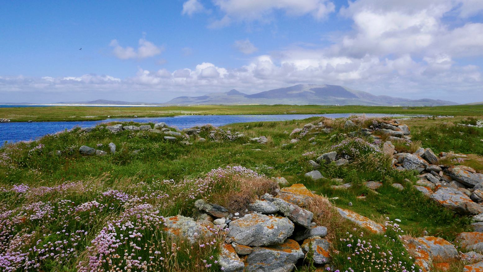
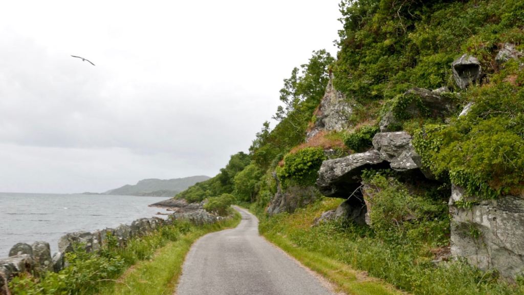
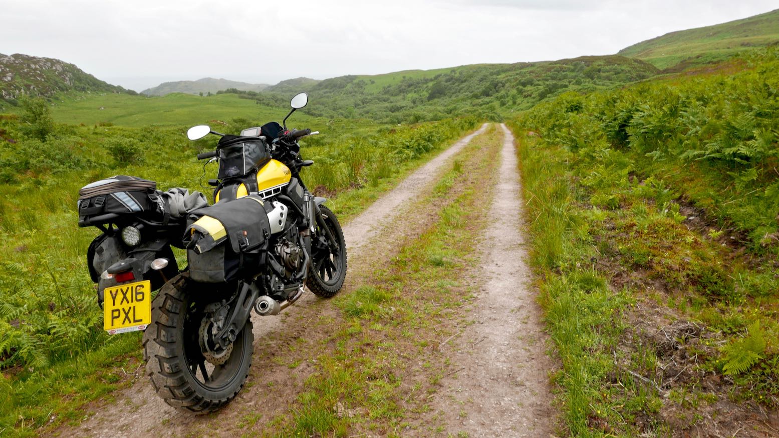
The B8024 leads back to the east coast of the Kintyre peninsula, while on the north side of Loch Caolisport, a side road ends within a couple of miles at Ellary. However, study an OS map and you will see an intriguing hill track which leads up and over the spur to join up with the backroad on the west side. It’s a shame that green laning as we know it in England and Wales is outlawed in Scotland. Walkers, mountain bikers and kayakers can roam and camp freely, but estate landowners and locked gates exclude motorised vehicles. Actually, as someone who enjoys all those recreational activities as much as I do trail biking, I support the restriction. Open to one and you must open to all, including irresponsible twats – in the Covid staycation summer of 2020, this right to roam rule was pushed to the limit in Scotland by motorhomers and the like. This track was closed but some private roads can be used with permission.
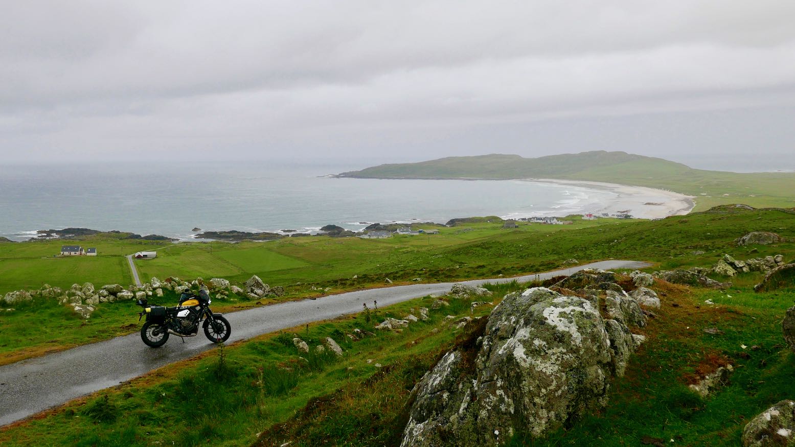
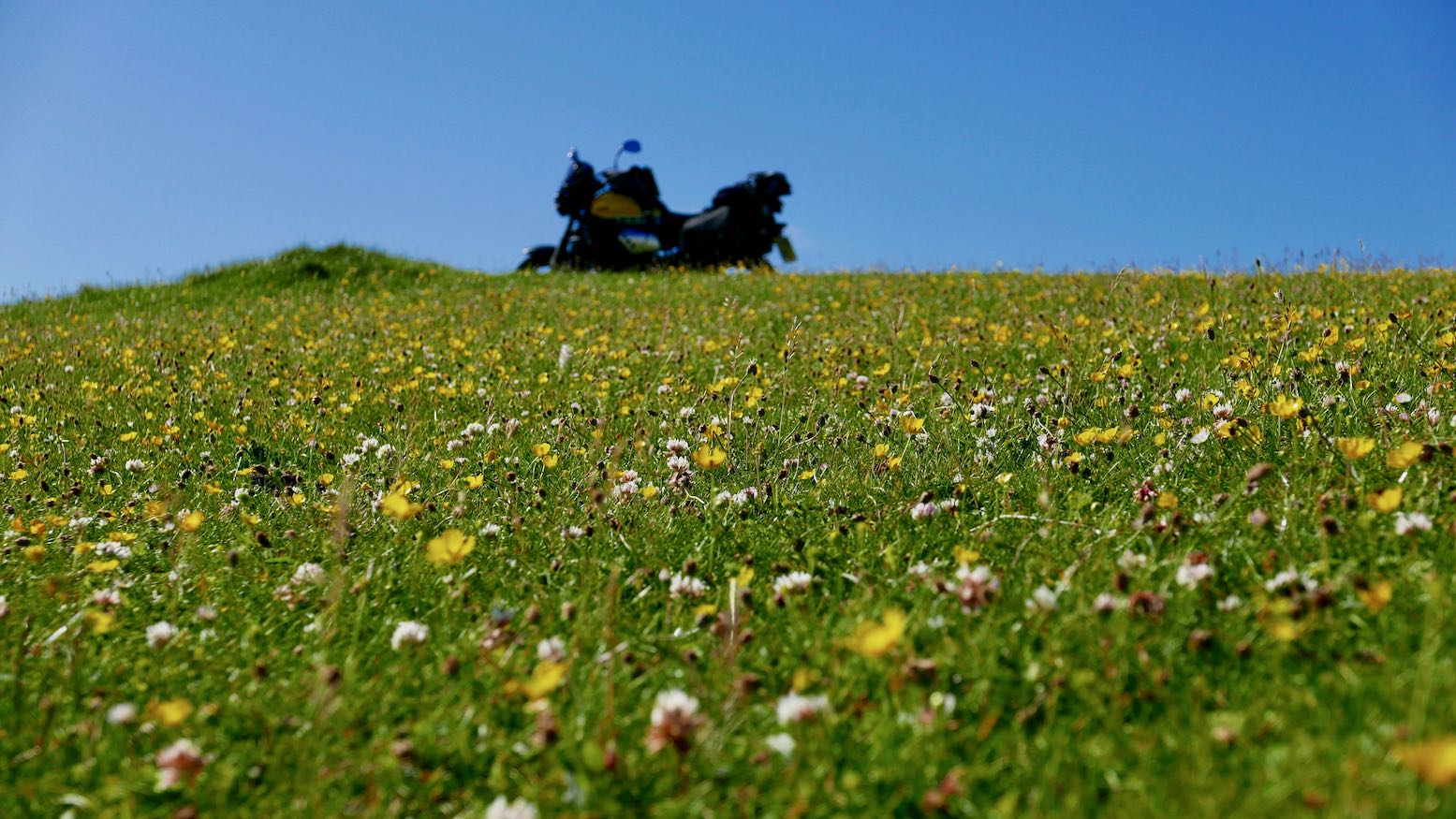
Contacting Ellary estate office a few days earlier, I’d got permission to take the 3-mile hill track over to Kilmory Chapel. The part-eroded road was do-able on the semi-scrambled XSR and as always, it sure is fun to get off a regular road, park up and enjoy the views.
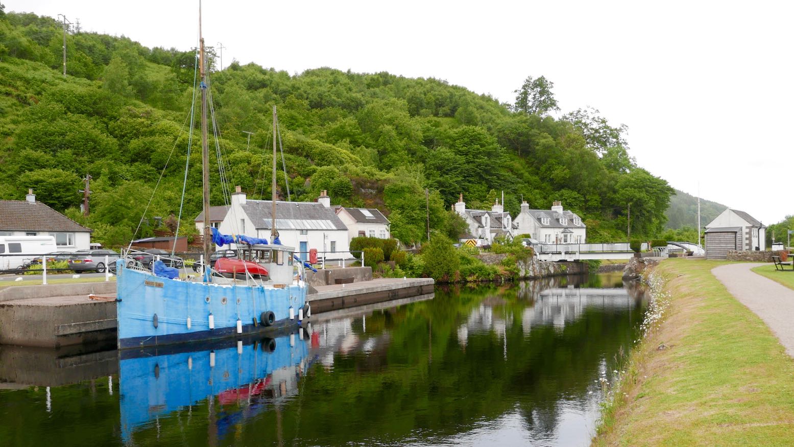
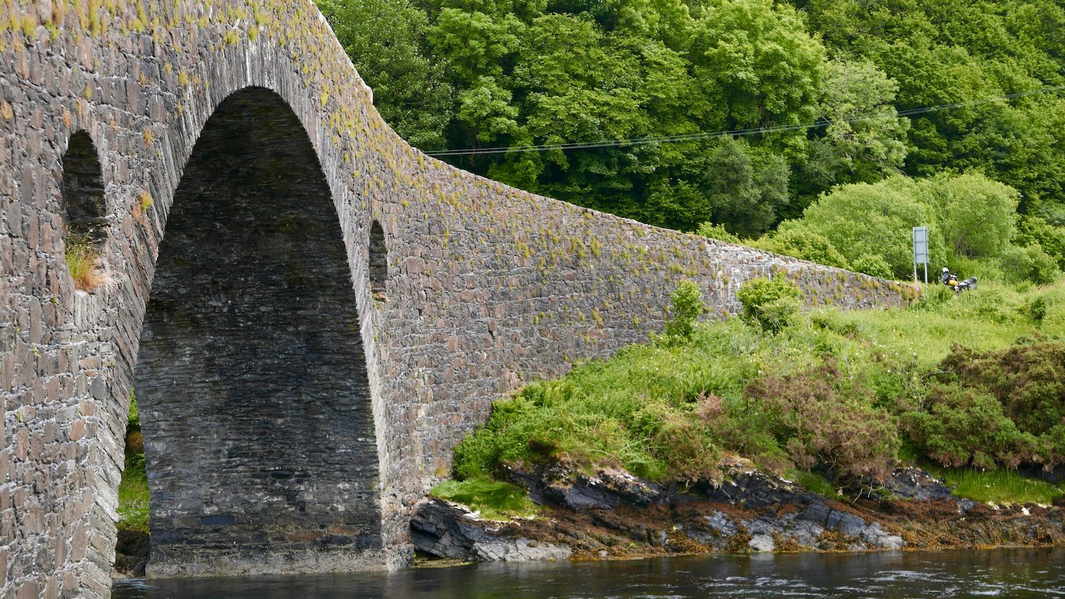
Heading on towards Oban along on the A816, I took a detour to Seil Island over the elegantly hump-backed Clachan Bridge. Built well over two centuries ago to help access the islands’ slate quarries, it’s grandly known as the original ‘Bridge over the Atlantic’ Scotland has gained a few more of them since then.
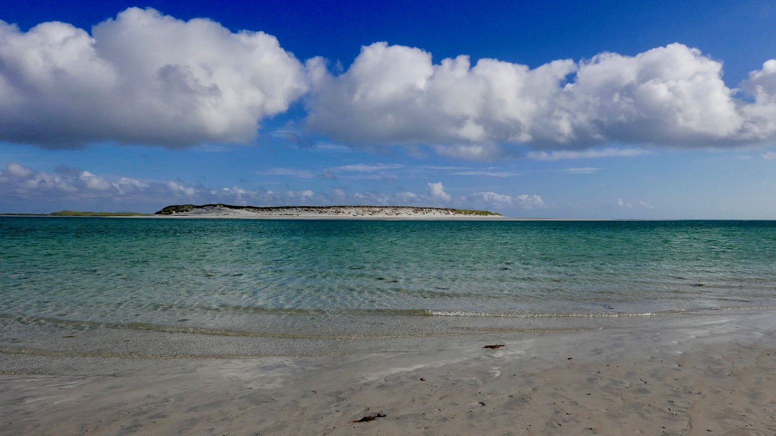
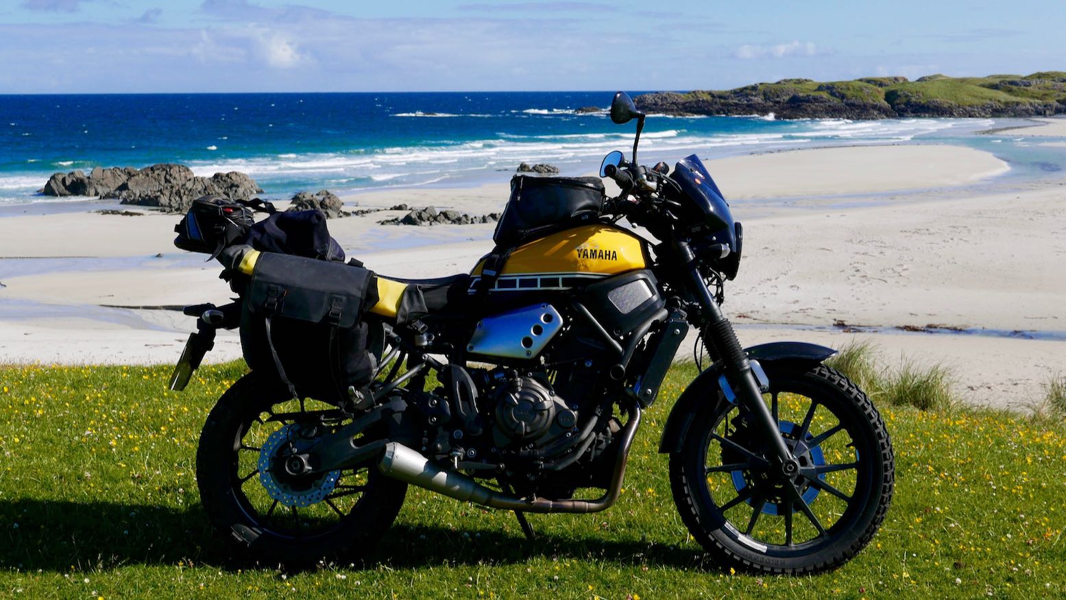
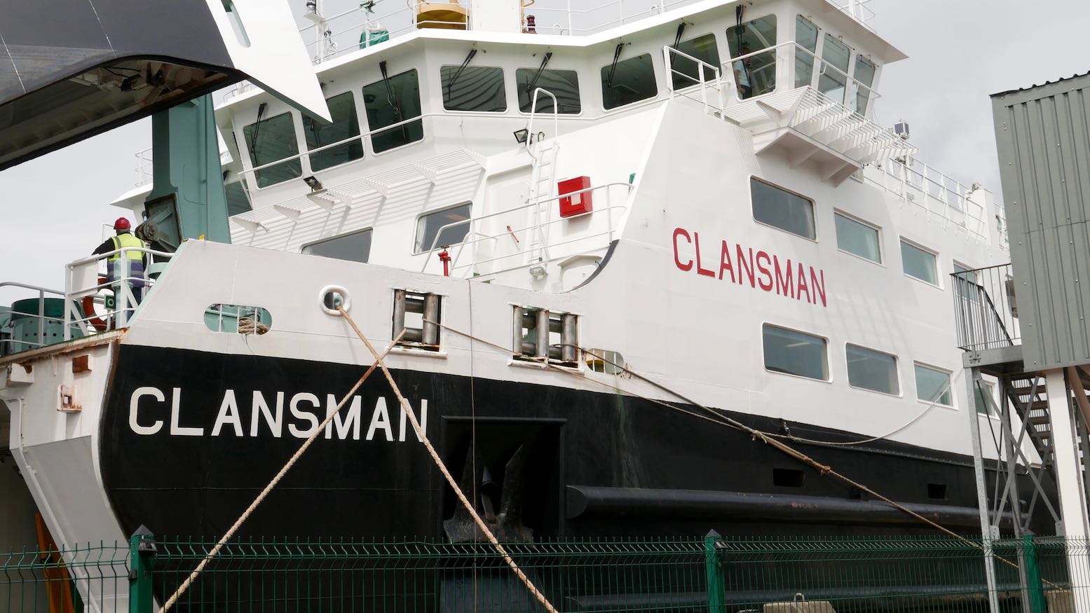
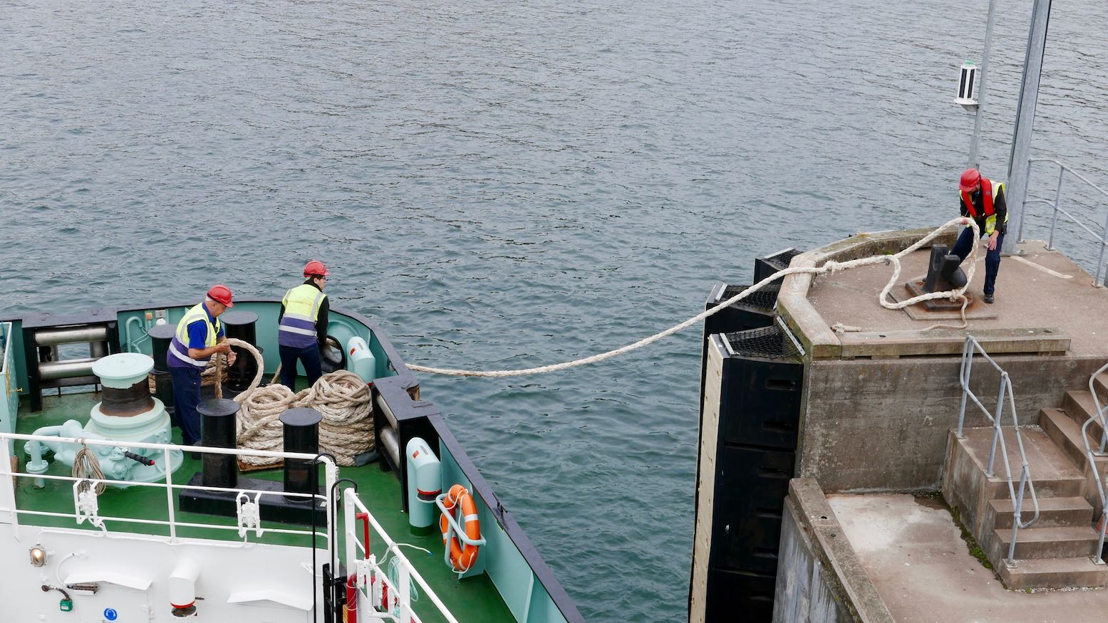
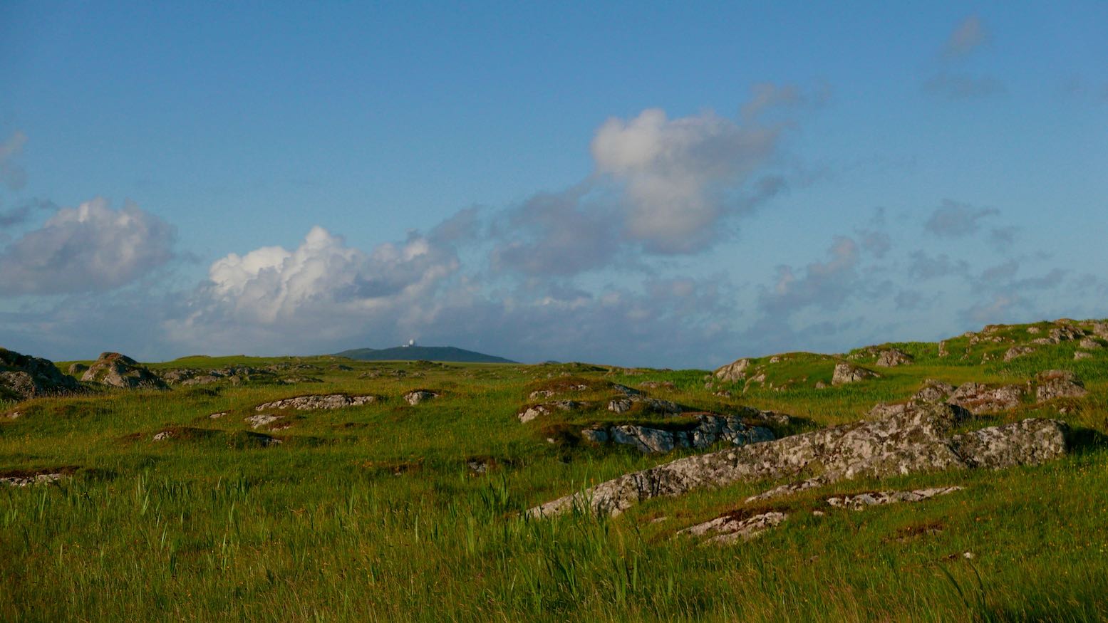
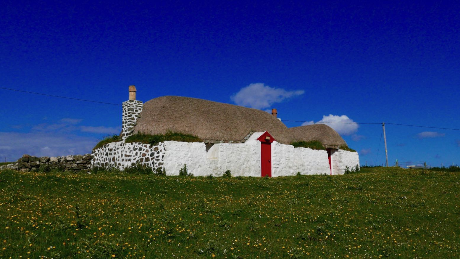
Later that evening the Calmac ferry nudged into the harbour at Tiree. Said to be among Britain’s sunniest places, it’s also one of the windiest, giving clouds little chance to hang about. Only ten miles long and half as wide, you could ride the entire road network in less than an hour, but of course that’s not the point of visiting such places. One of the Hebridean ‘machair islands’, the fine, wind-proof grass thrives alongside azure sandy bays.
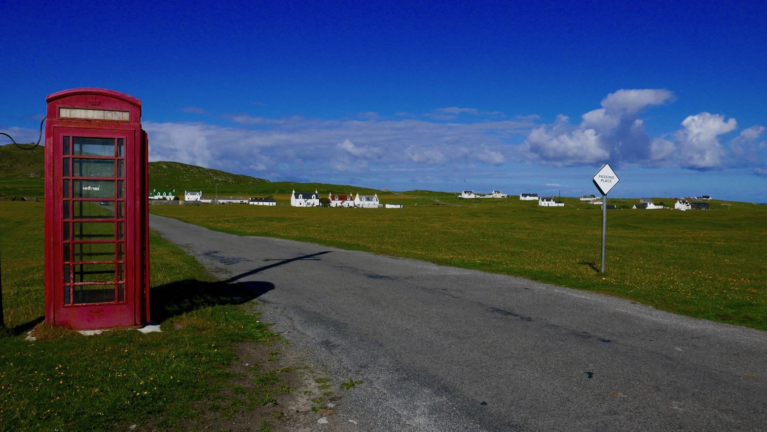
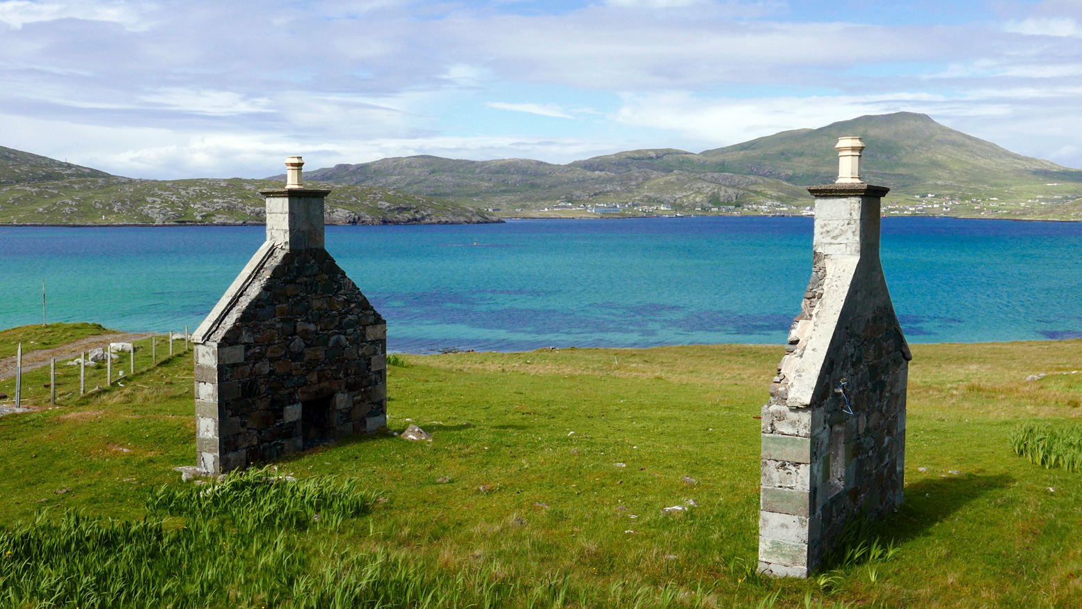
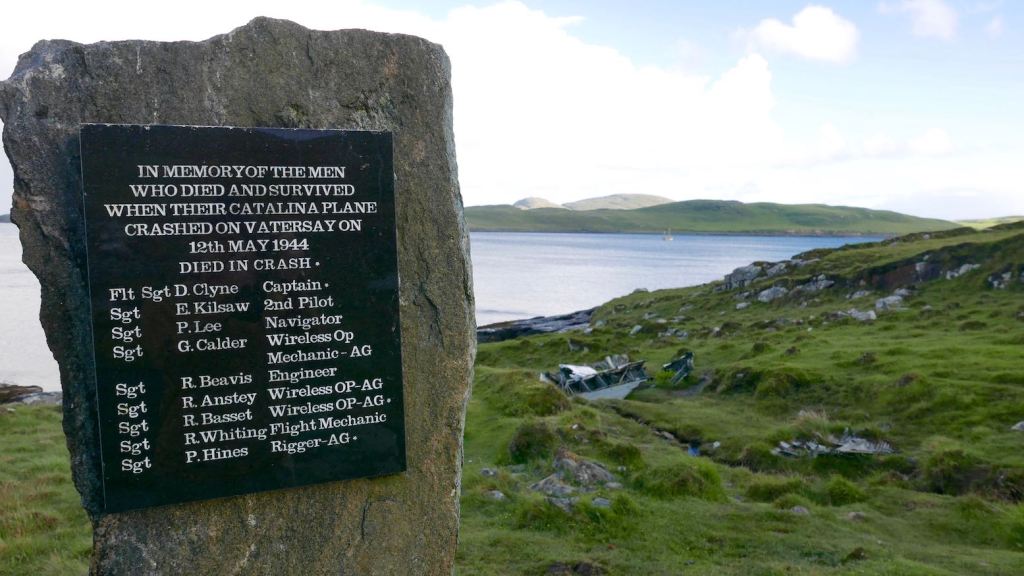
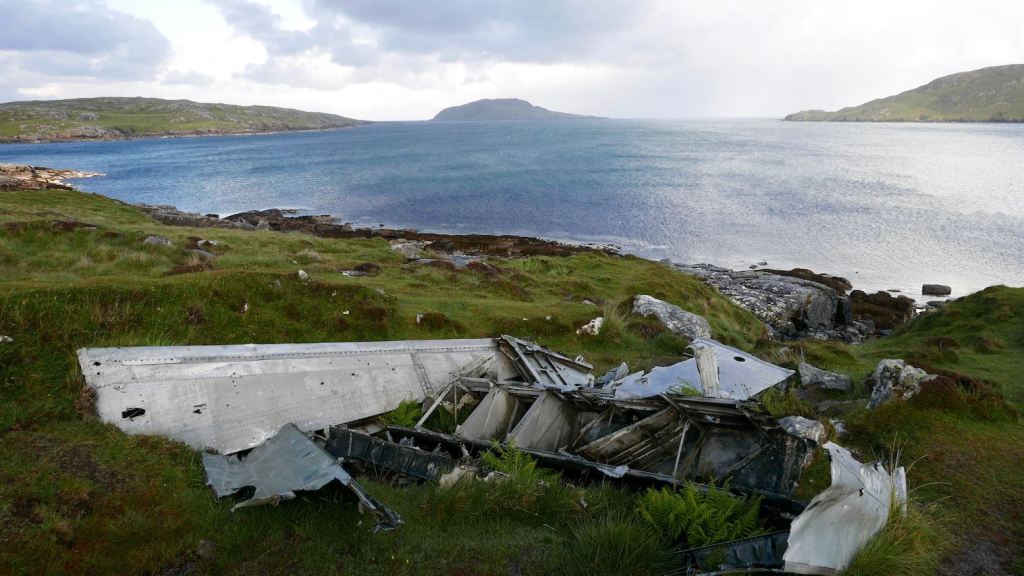
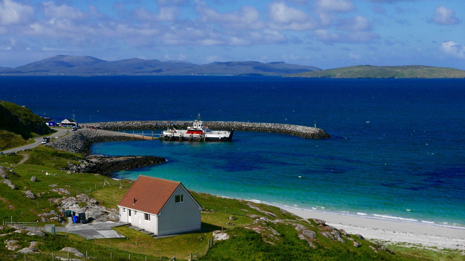
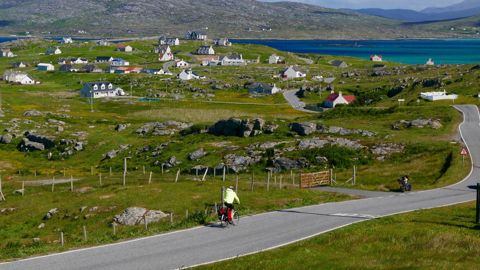
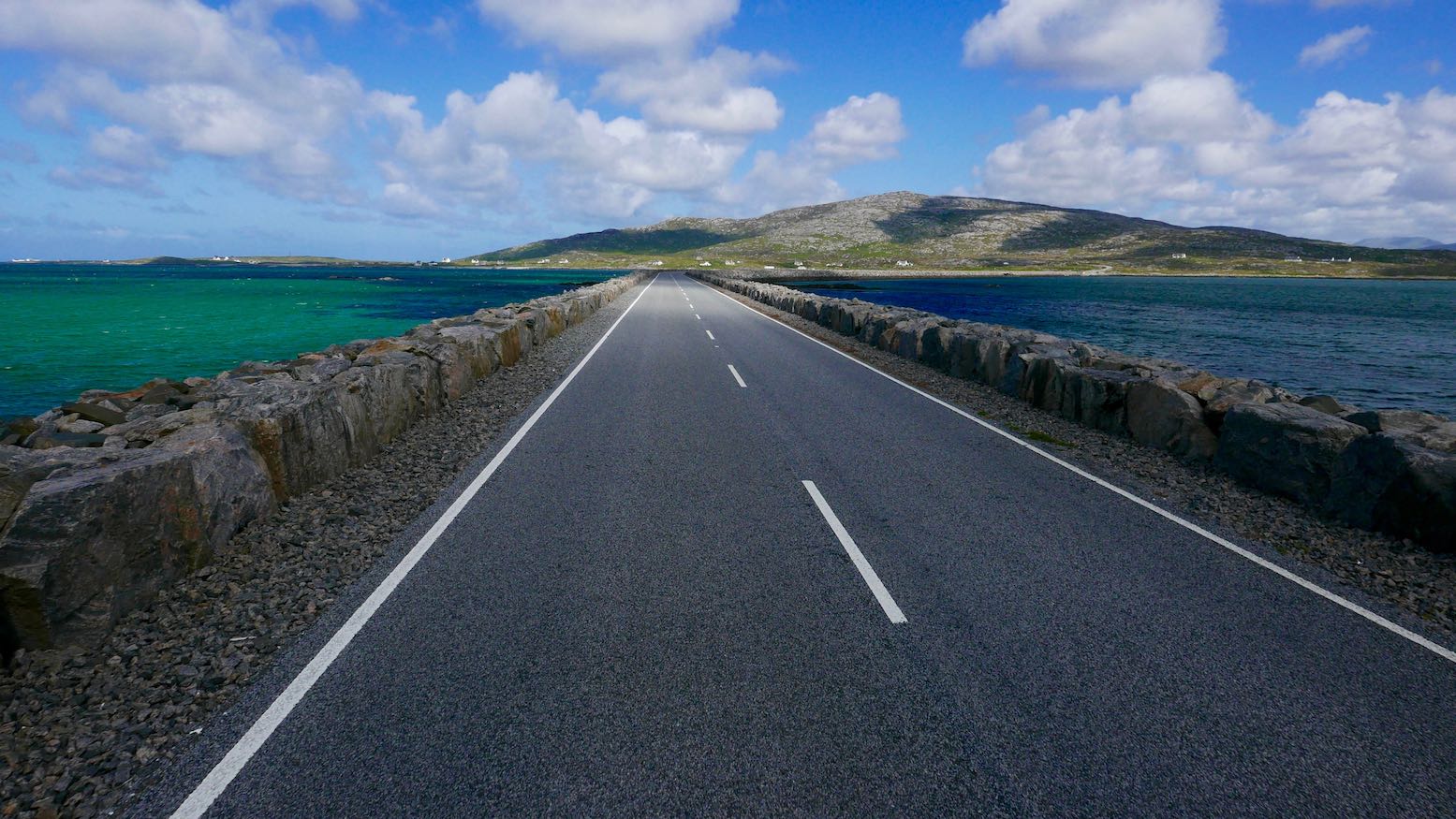
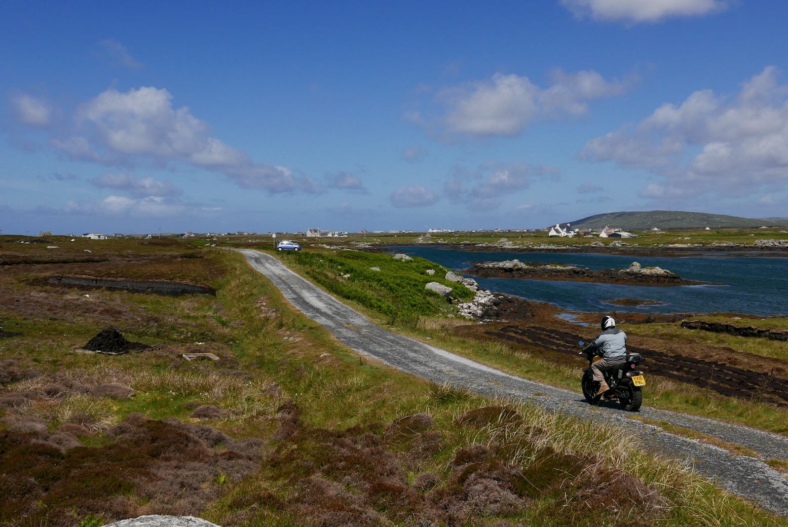
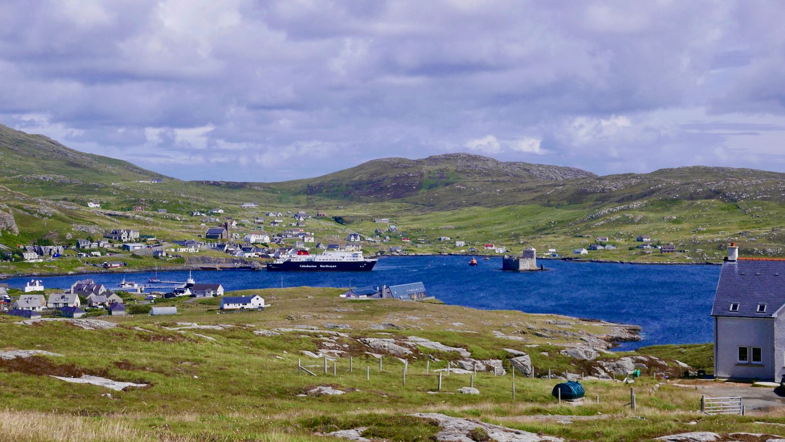
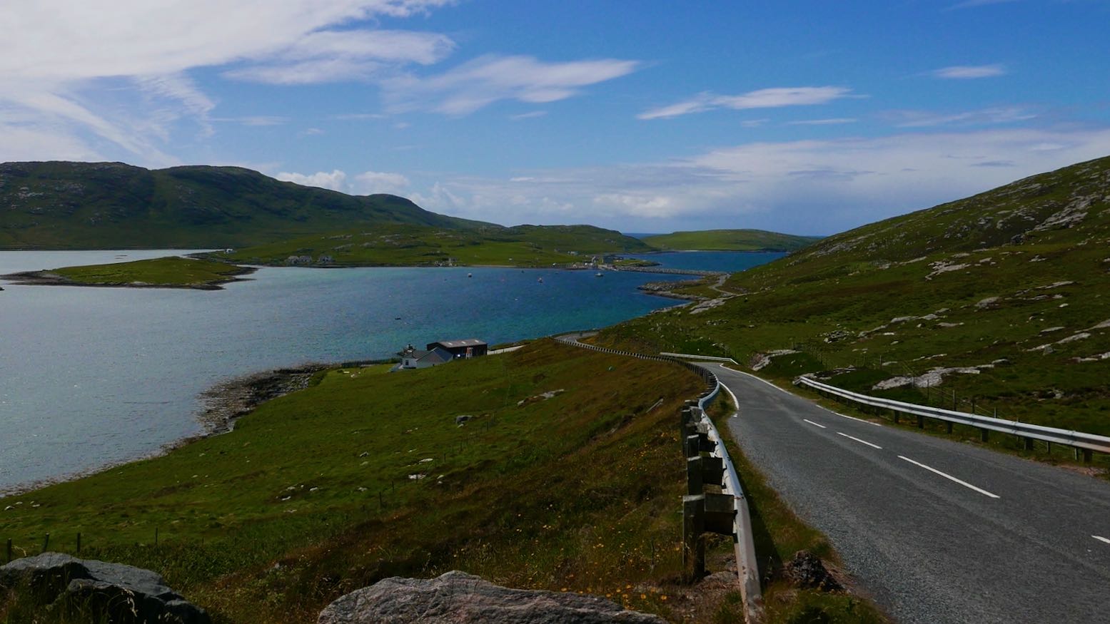
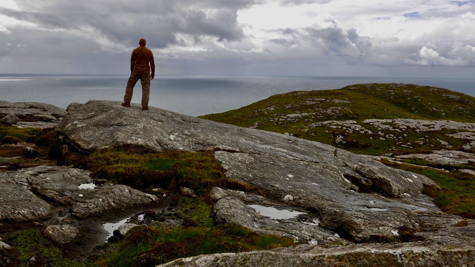
Next day I did another sunny lap of the island then caught the once-weekly ferry to Barra at the southern end of the Outer Hebridean archipelago and once ashore wiggled my way down south over a causeway to Vatersay. Evoking the former Nordic occupation of what they’d called Havbredey, the ‘Isles on the Edge of the Sea’, I parked up and scrambled up to the trig point on Heiseabhal Mor, the westernmost hill in Britain accessible by road and scheduled ferry services. Formed of three-billion-year-old Lewisian gneiss (the oldest rock in Britain) eons of Atlantic gales had shorn the rounded summit into a bald dome.
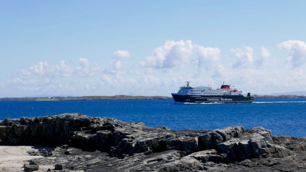
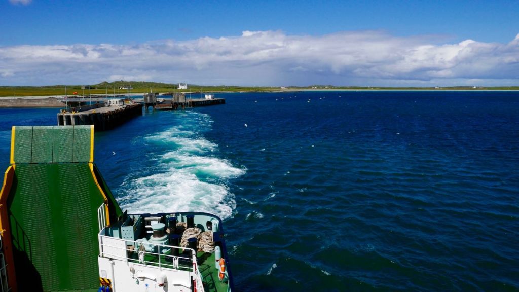
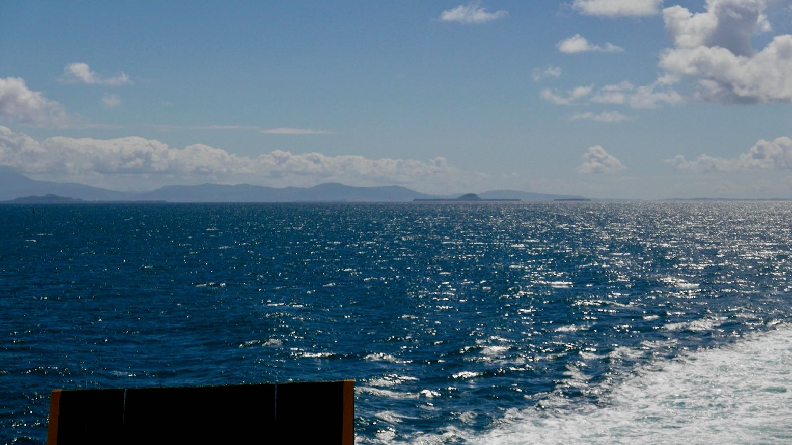
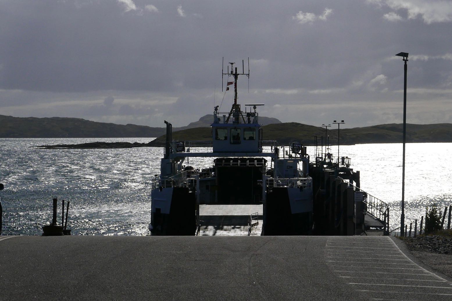
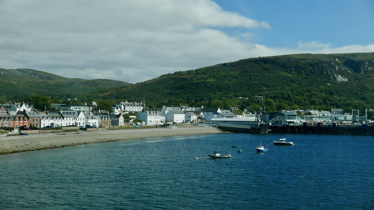
North of here I was on familiar ground, scooting across the archipelago linked by causeways and ferries to Lewis and my last ferry: Stornoway bound for Ullapool. Whether you get here by bike or on the end of a cormorant’s beak as Norse legends recall, it’s always a thrill to visit such wild places, even if they’re just a couple of days ride away.
See also: Dawn to Dusk • XSR700 7500-mile review