CRF300L Index page
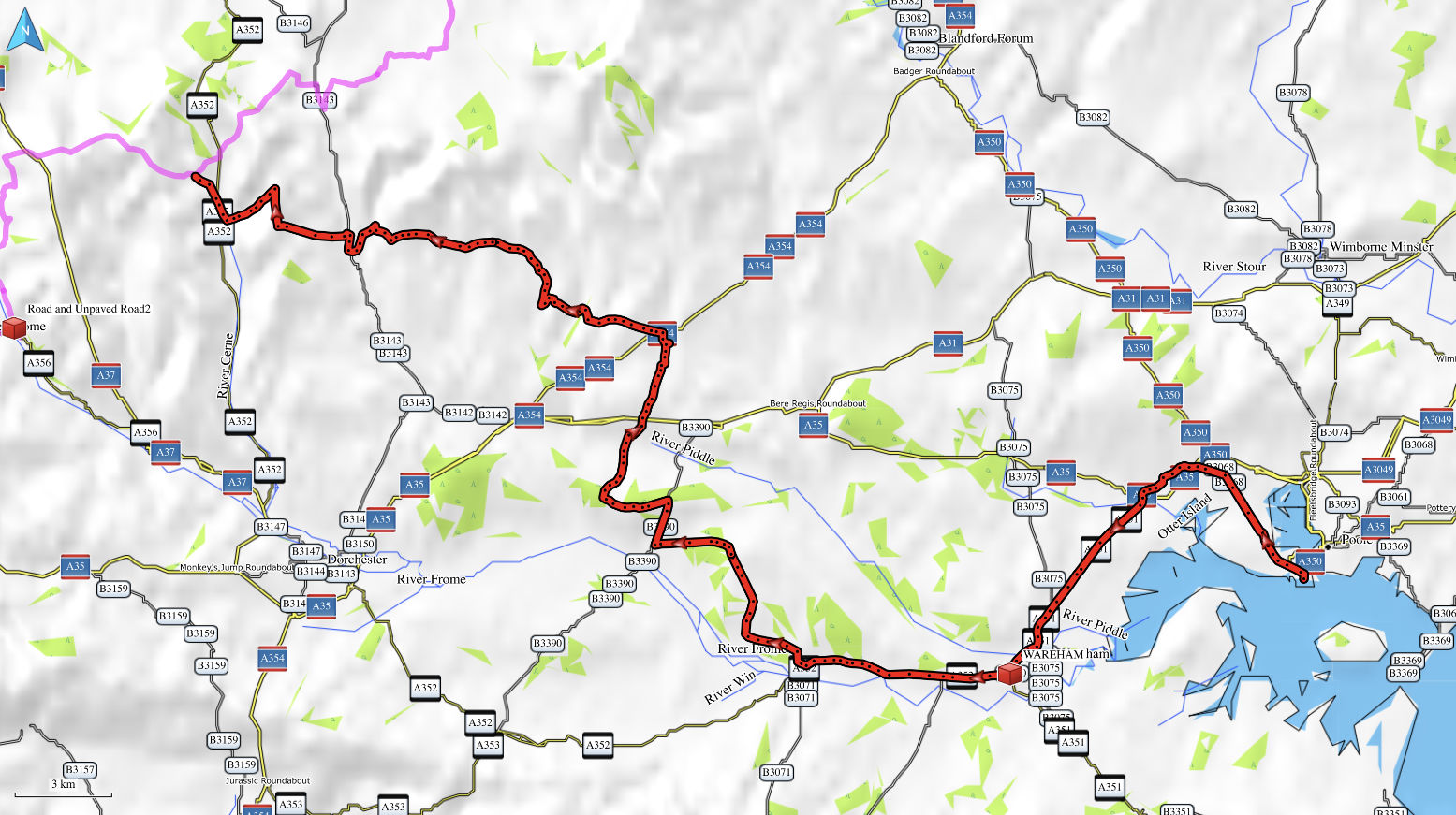
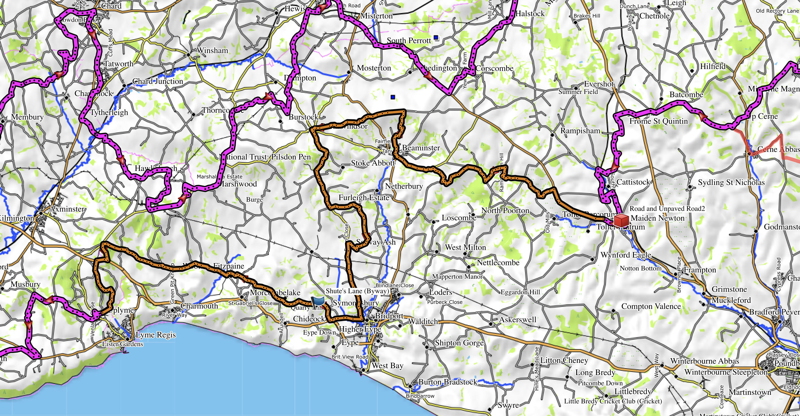
Dorset’s Great Western Trail 1

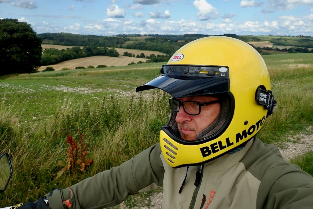
The other day’s inaugural run along the TET’s Great Western Trail in Dorset was unnervingly easy and enjoyable. I wasn’t wrong footed and barely put a foot wrong. Today’s westward continuation was going to be my difficult second album.
For more afteride bike impressions, see bottom of the page.
Rights of Way (skip if boring – E&OE)
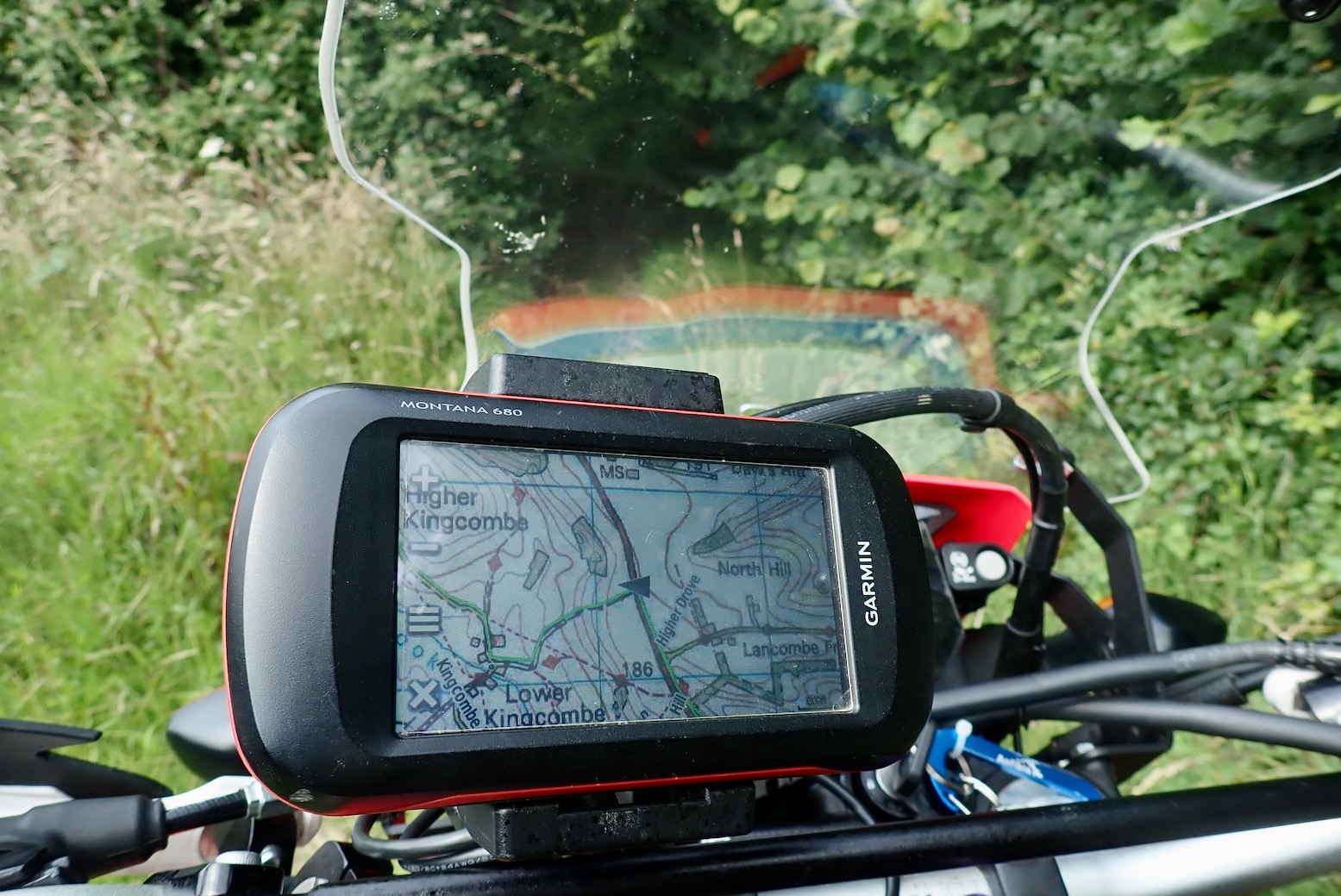
The last time I looked into it, to establish the status of a right of way in England & Wales (Scotland is a write-off) you had to inspect a county council’s definitive or ‘master’ map (DM) held in its offices and viewable by appointment. This is why people ride wasteland, join clubs or go to Morocco. Now we have the internet county councils publish this map online for all to view anytime for free. Vehicle access wise, the map will identify the very few Byways (aka BOATs), as well as much more numerous Unclassified Country Roads, (UCRs) which I called ORPAs (‘other routes with public access‘, on OS maps). But according to this typical statement, the Dorset Definitive online map (example below) doesn’t have the legal status of the county’s official Definitive Map held in a glass vault in Dorchester Castle. So while you cannot fully rely on the online county master map, it ought to be more up to date than the latest OS edition and is free.
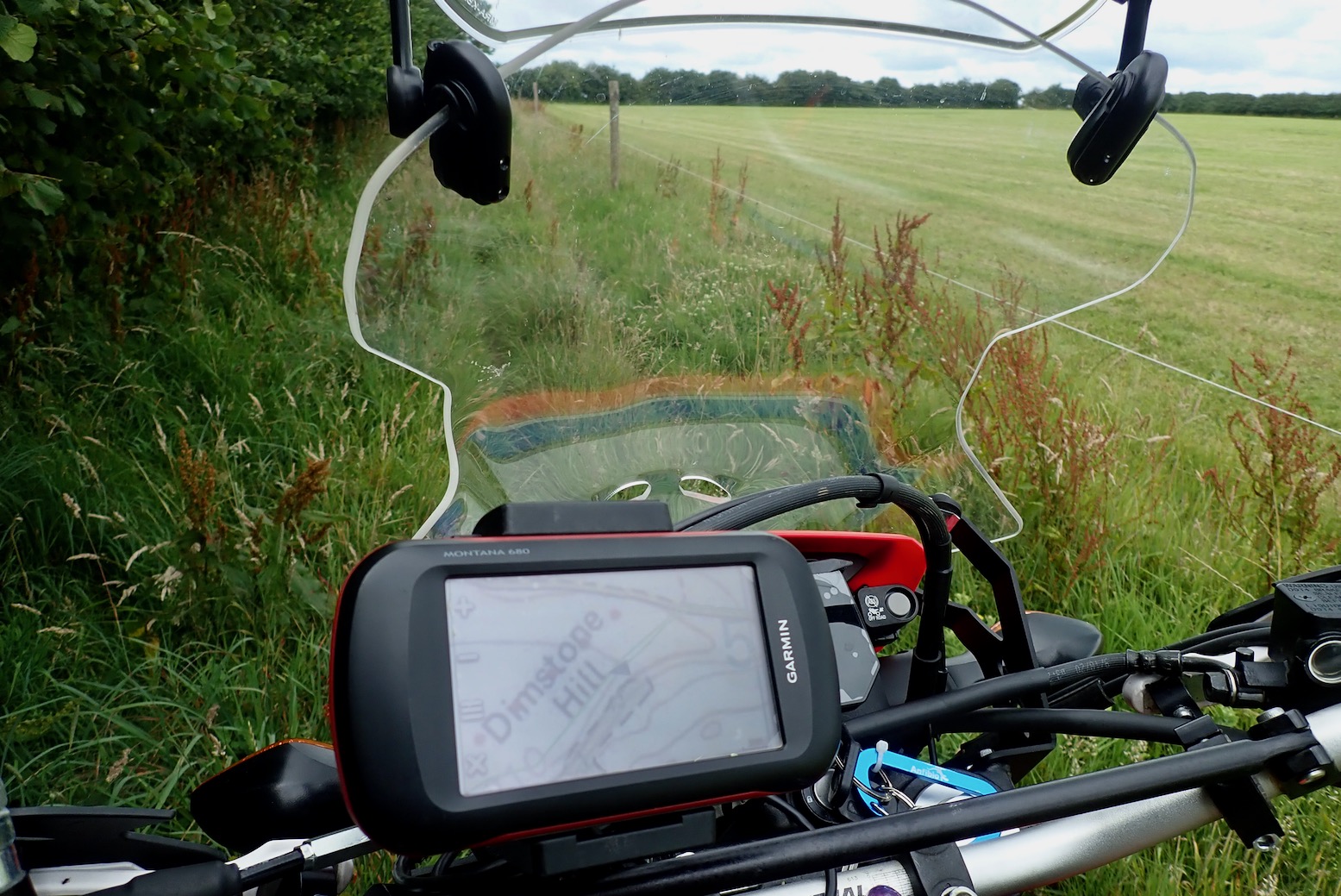
Perhaps the best online map for trail biking is produced and maintained by the Trail Riding Fellowship. It’s viewable at greenroadmap.org.uk where it says guests (non-TRF members) can register and view the map with limited features, but I couldn’t manage it. This is why we like the simplicity of UK TET with the GWT. One 3800-mile gpx download and you have enough to be getting on with.

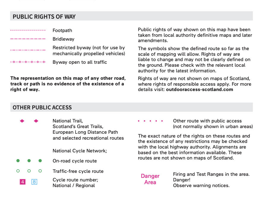
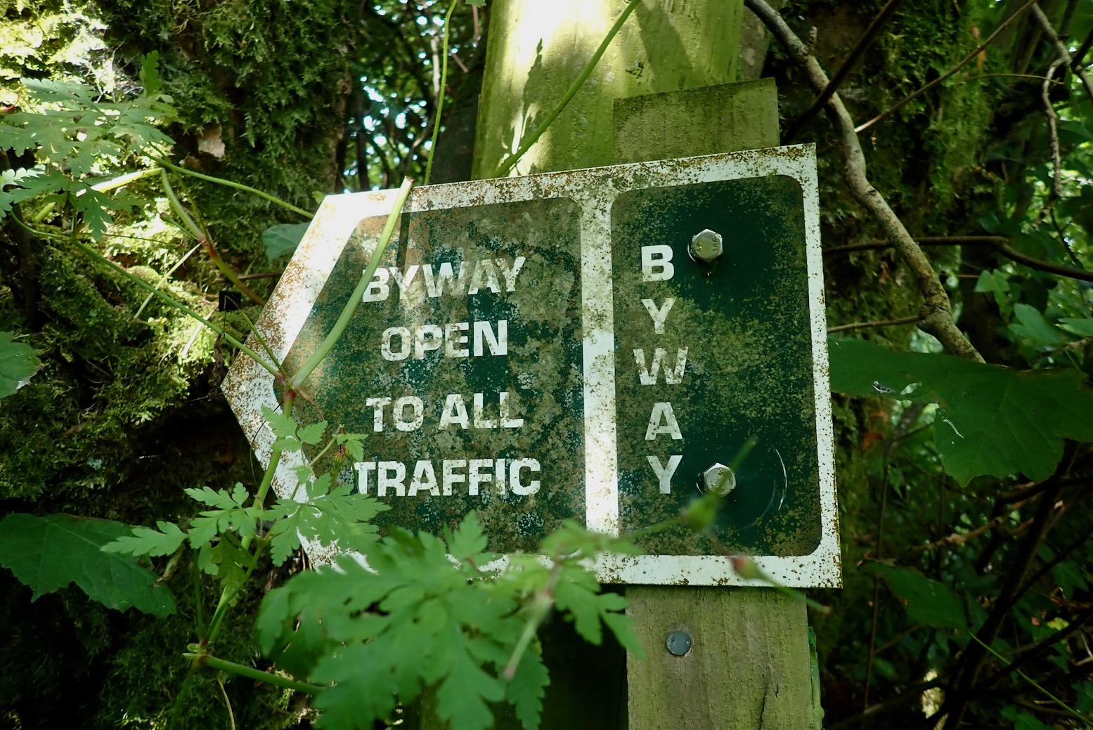
These UCRs or ORPAs – shown on OS maps as small red spaced dots on 50k maps • • • • , or green on 25k • • • • – have been a bit of an eye opener to me just lately, still stuck as I am in the 1980s RUPP era, but ORPAs have been on OS maps since 1997 and RUPPs were downgraded or mass reclassified as Restricted Byways by 2006. All this has passed me by over the decades. Clearly I’ve spent too much time in the desert where, by and large, an RoW is determined by the terrain and you and your vehicle’s ability to navigate it.
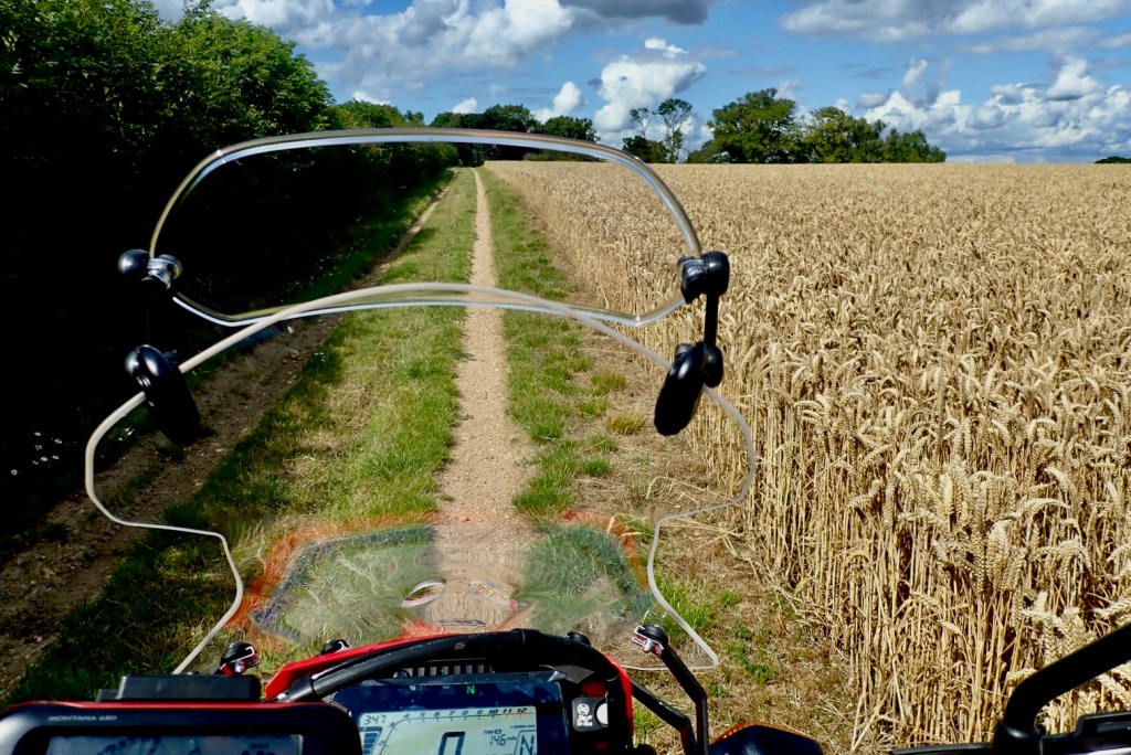
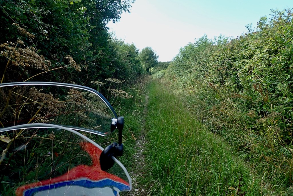
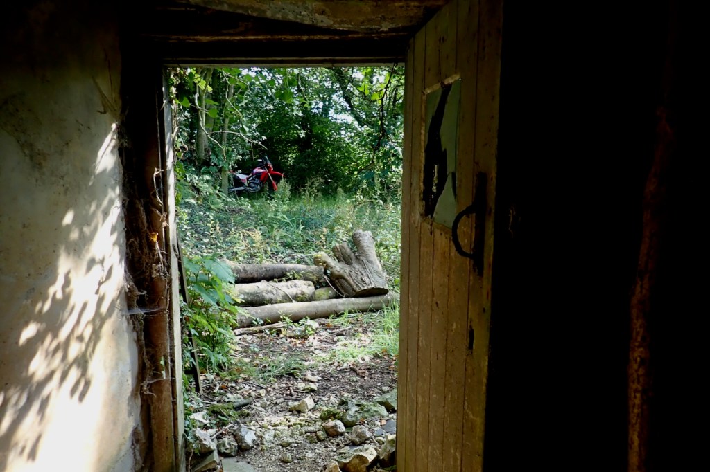
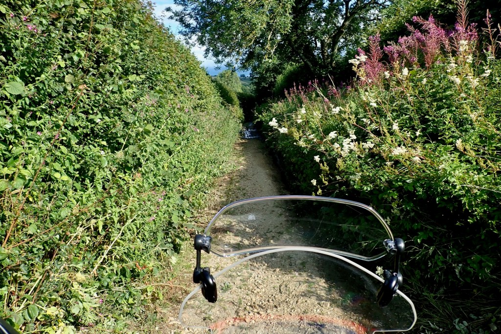
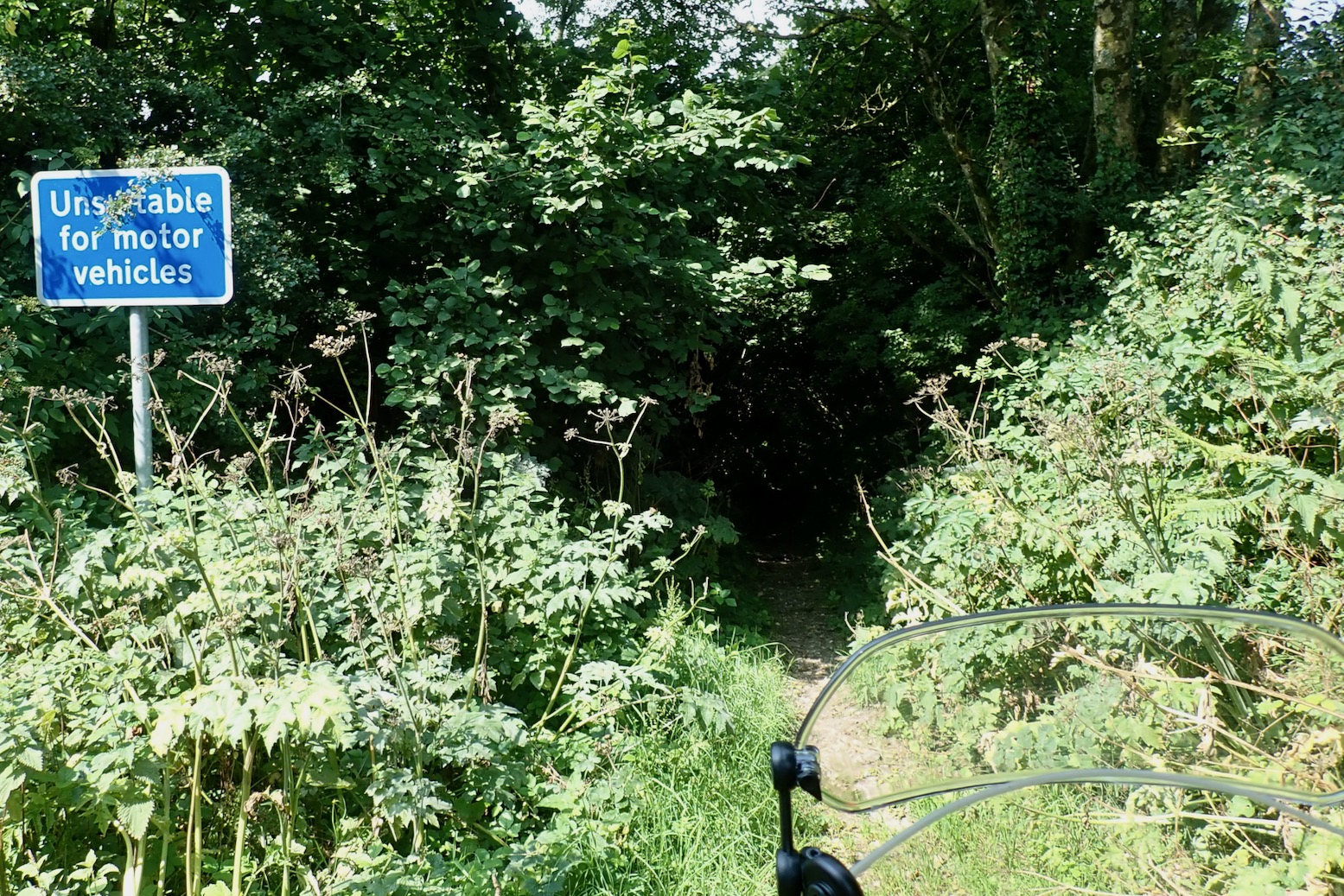
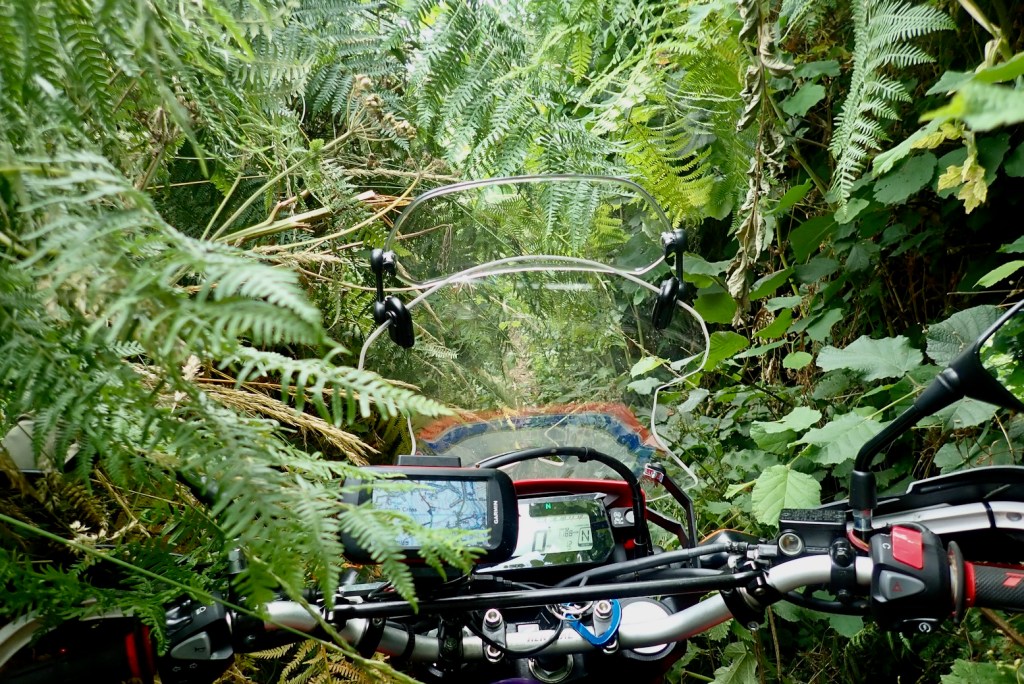
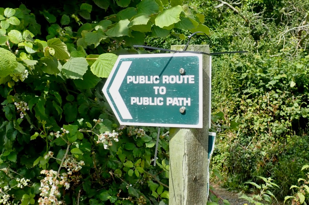
UCRs might be sealed or just tracks, passable or otherwise, but providing they don’t dead end at some backwoods ‘dueling banjo’ meths compound (as I stumbled on the other day), you have the promise of a through route. So I can now verify that track I followed in mid-Wales the other week was a UCR and doesn’t even get any special annotation to the Powys Definitive online map. As DK and DW, a pair of intrepid travel bikers and TRF lifers clarified to me “In 99% of cases, you can legally ride a bike on a UCR“. When you view the Dorset GWT on an OS background, you can see it aligns with UCRs and the much less frequent Byways as well as regular metalled yellow ‘C’ roads.


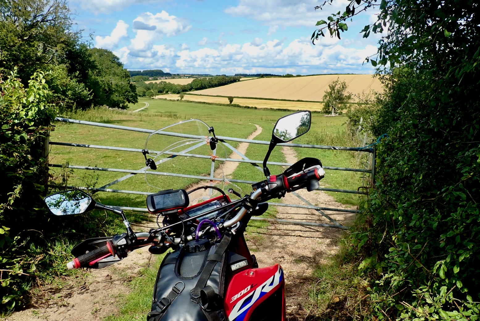
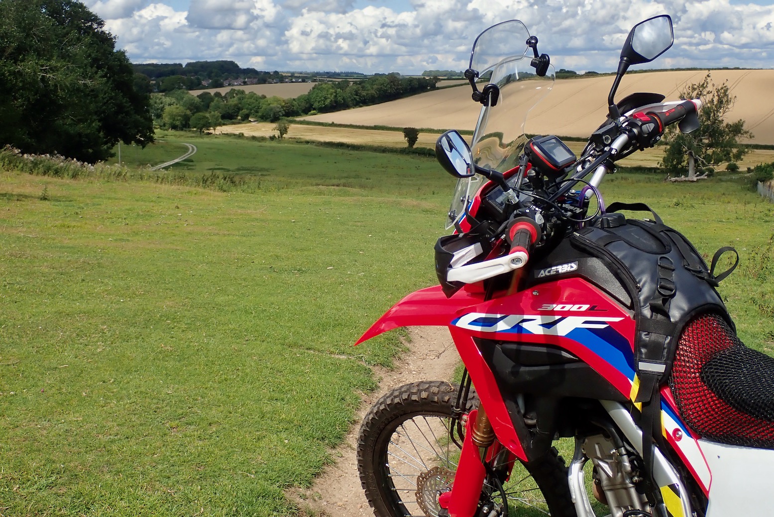
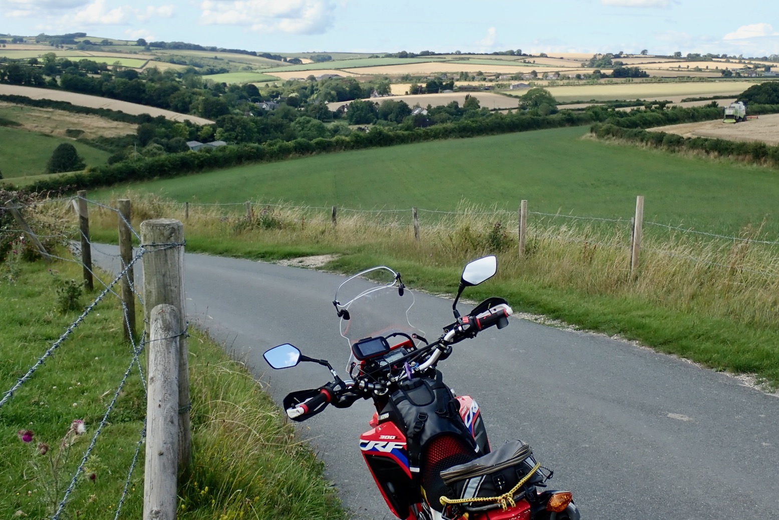
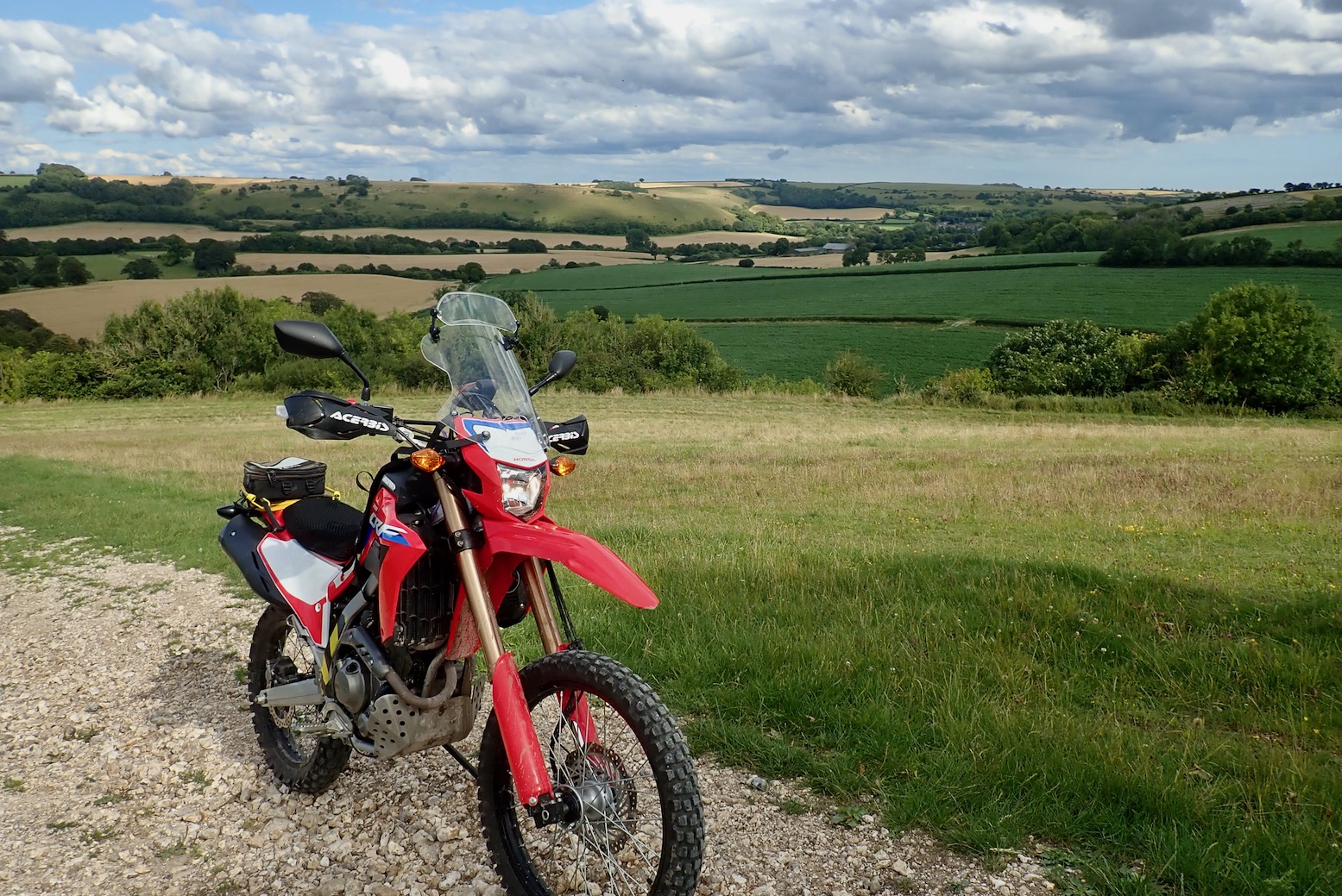
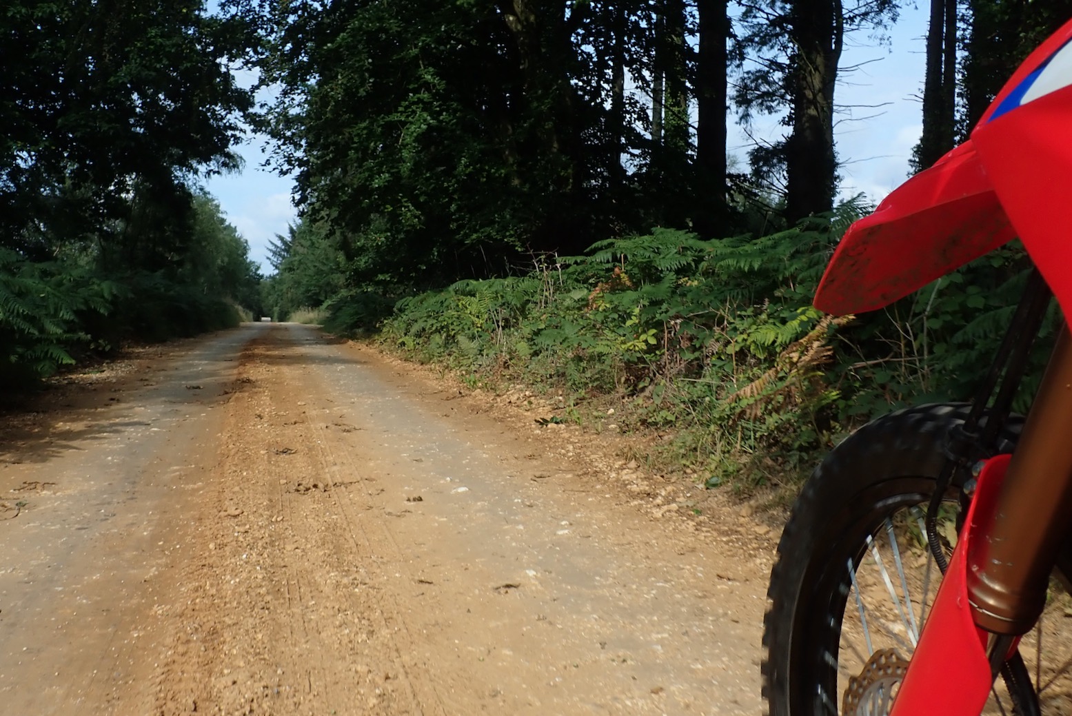
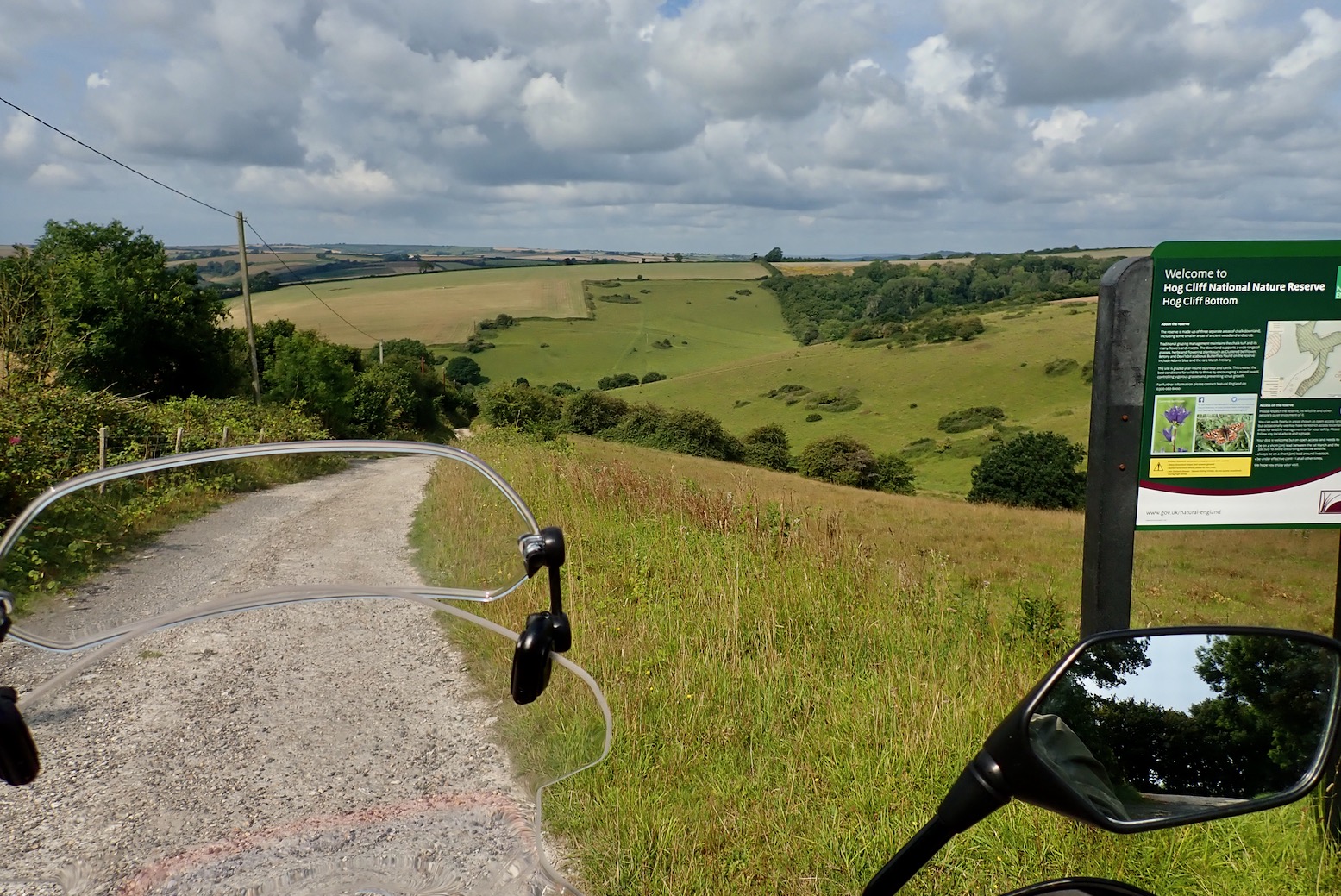
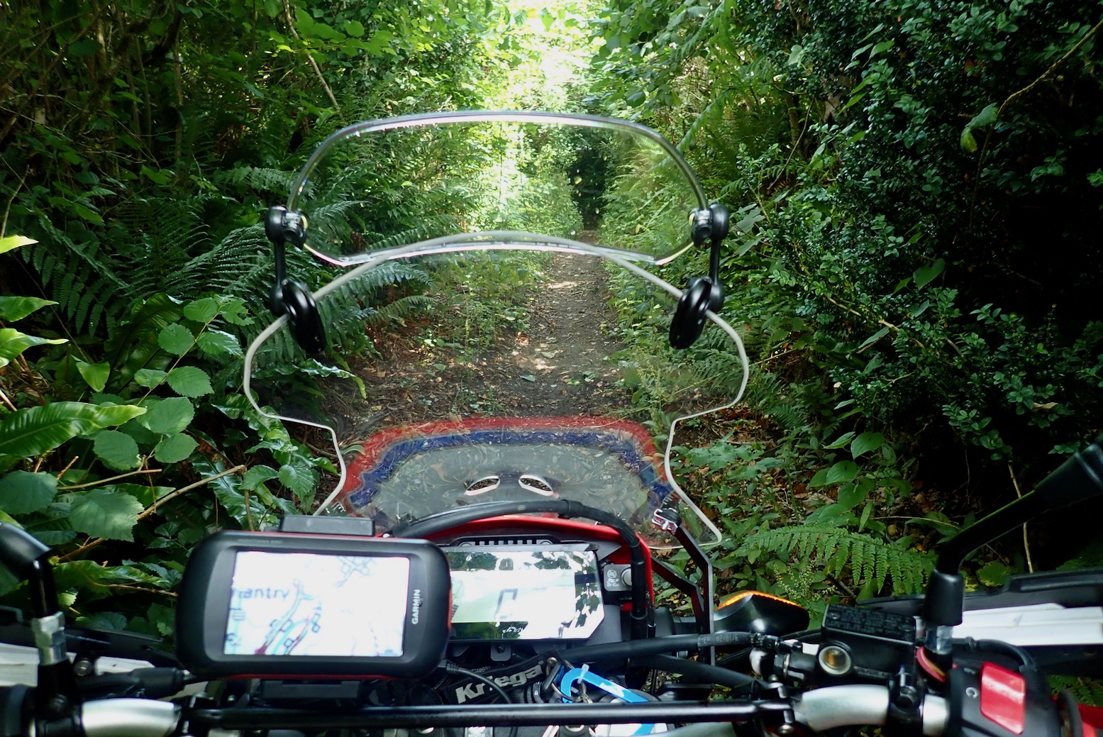
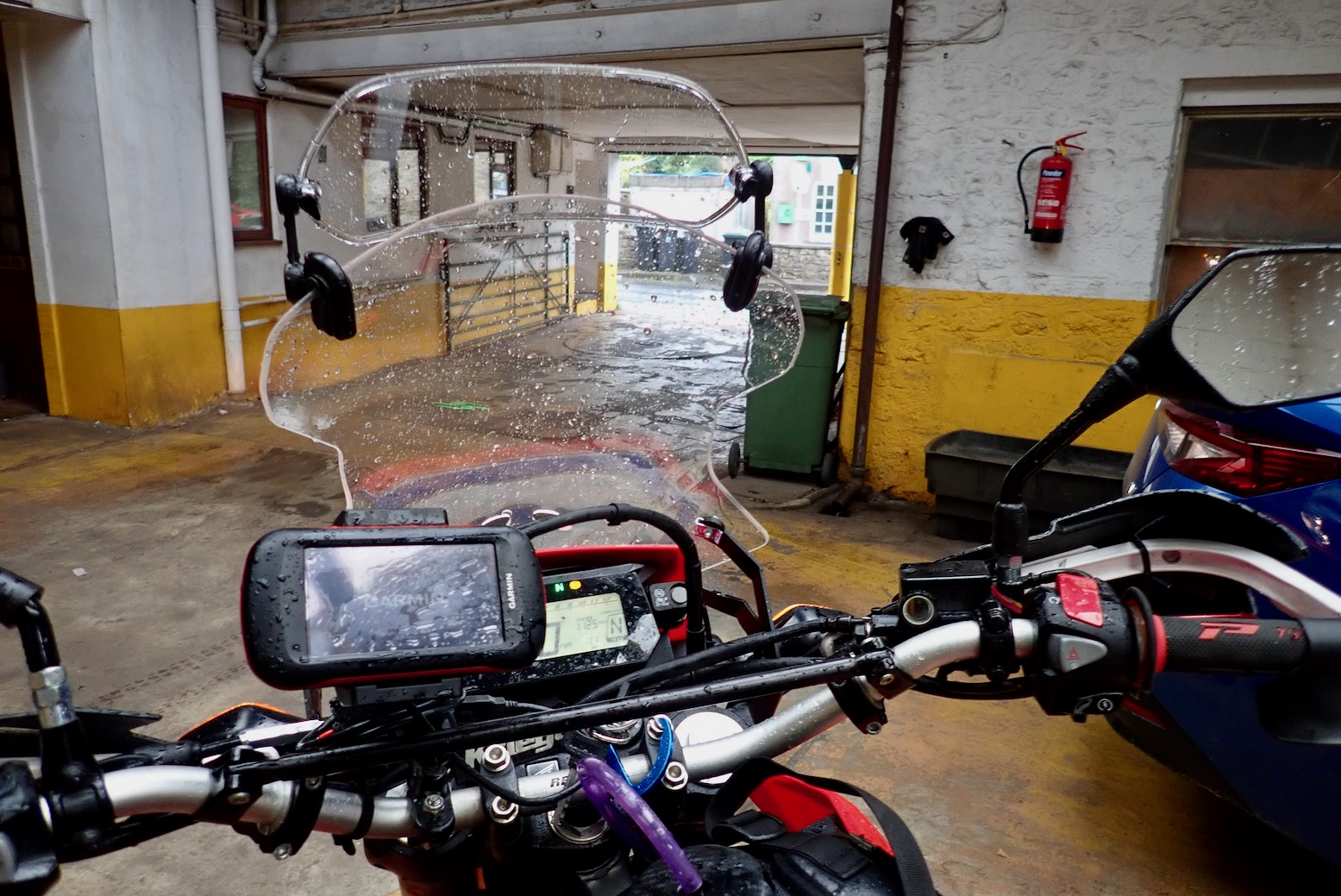
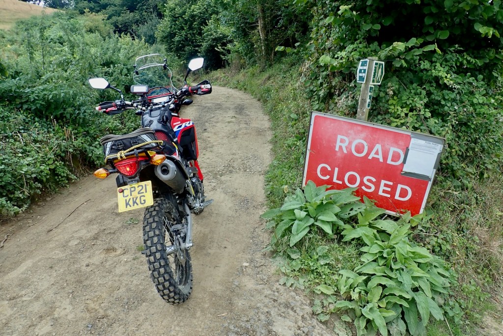
The TET gets offensive
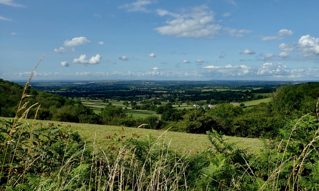
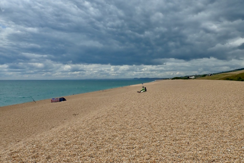
The forecast was a bit shaky; I’d probably get a hose-down at some stage but would dry off eventually, given global climate patterns. I was planning on reaching Lyme Regis, about the same distance as the other day, though something about today’s route looked more challenging and maybe more typical of the GWT.


This lane – Meerhay or Mintern’s Hill (50.825716, -2.733489) throws me, but there’s no mention of it online. Even coming downhill I’d think twice, but it must be just me and my age.
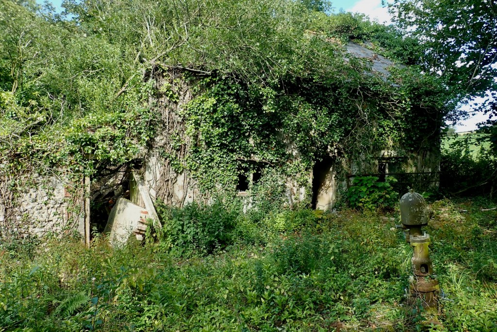
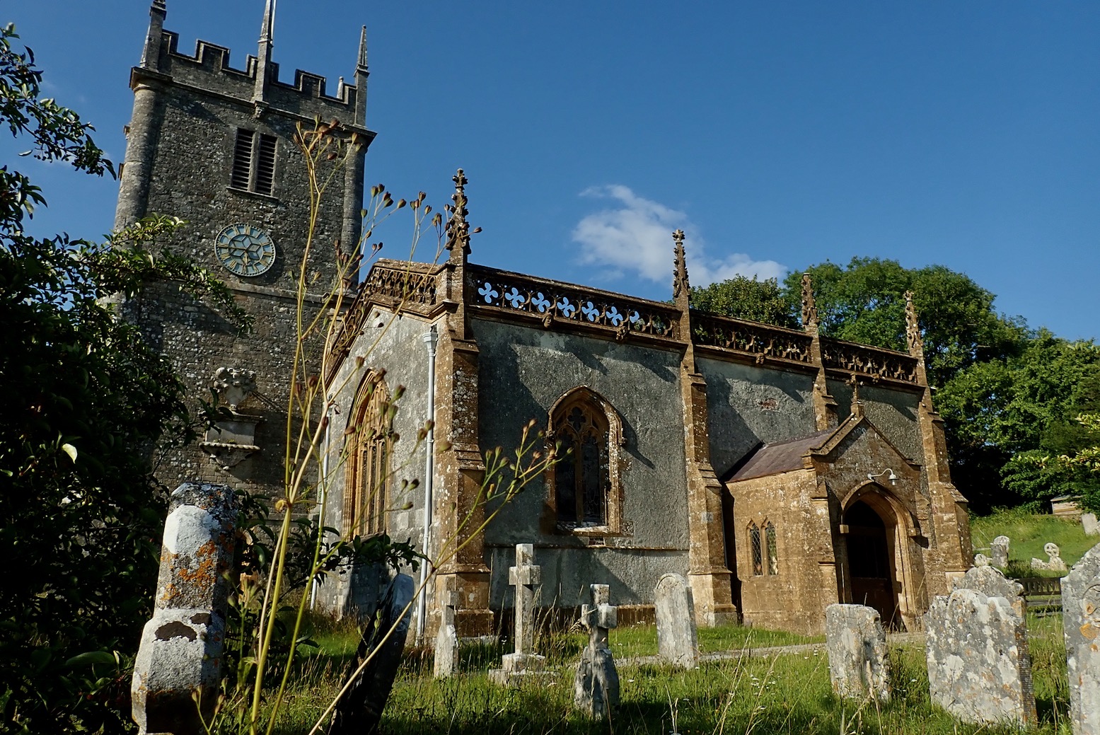
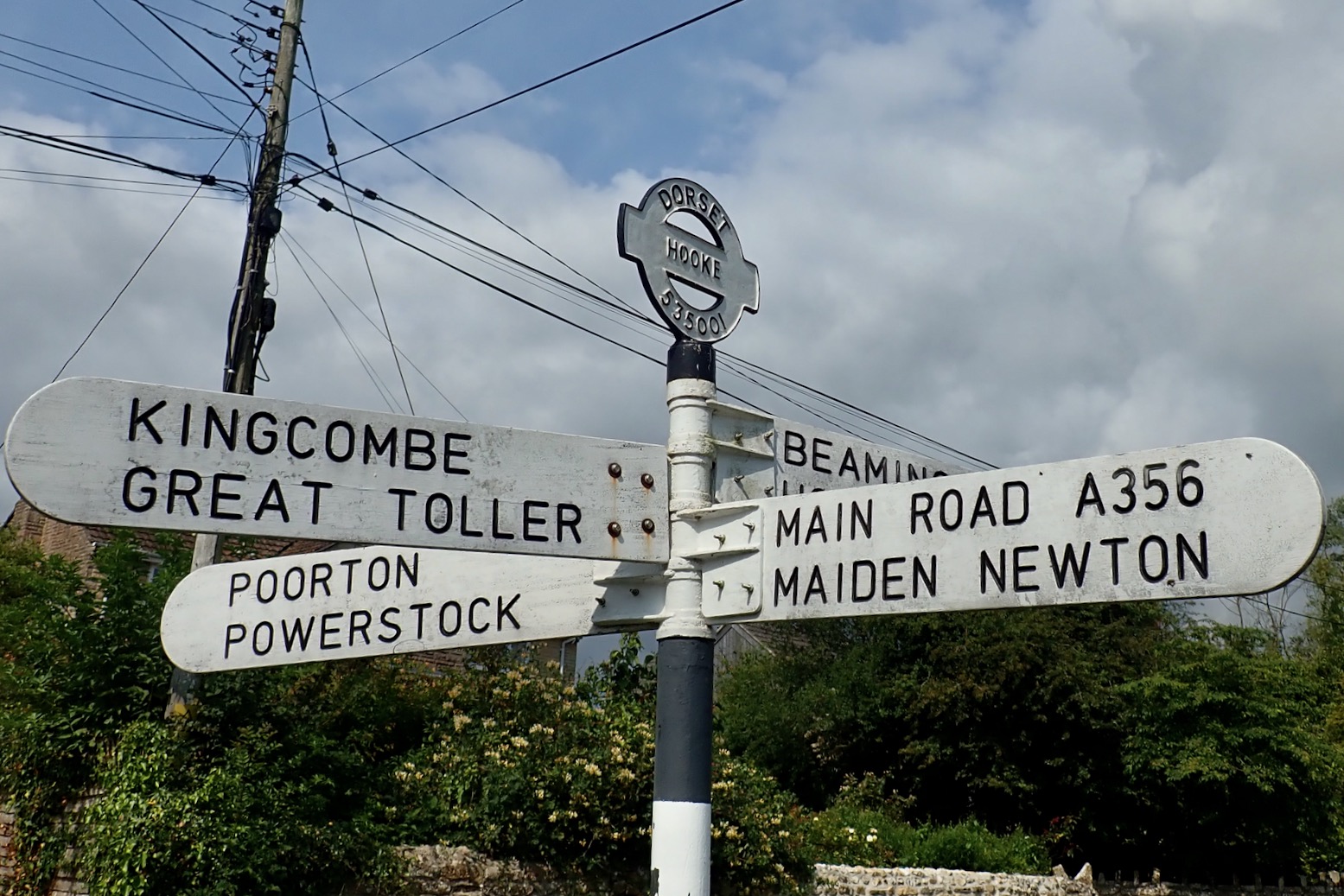
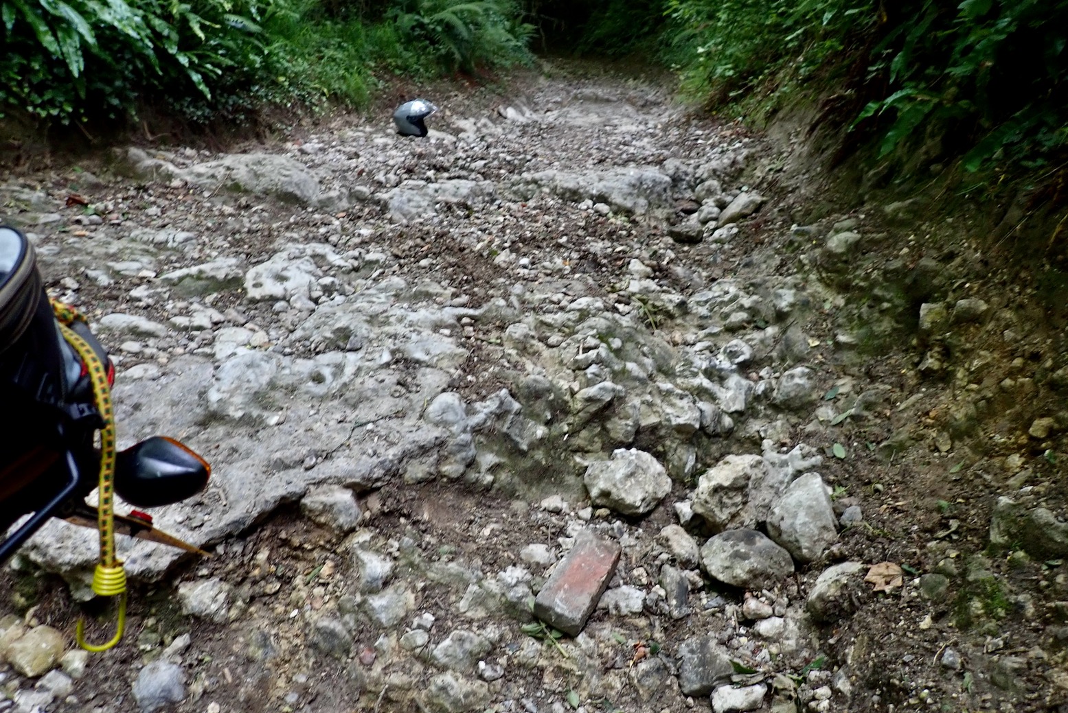
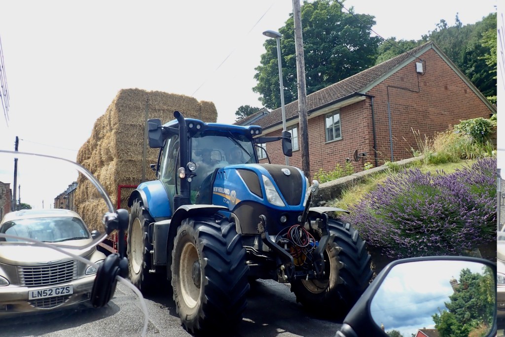
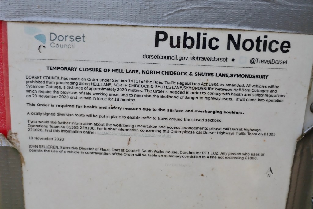
Returning to Beaminster, a delivery driver stops and asks about getting through. He knows about the BOAT and meanwhile, points me to a car garage in town.


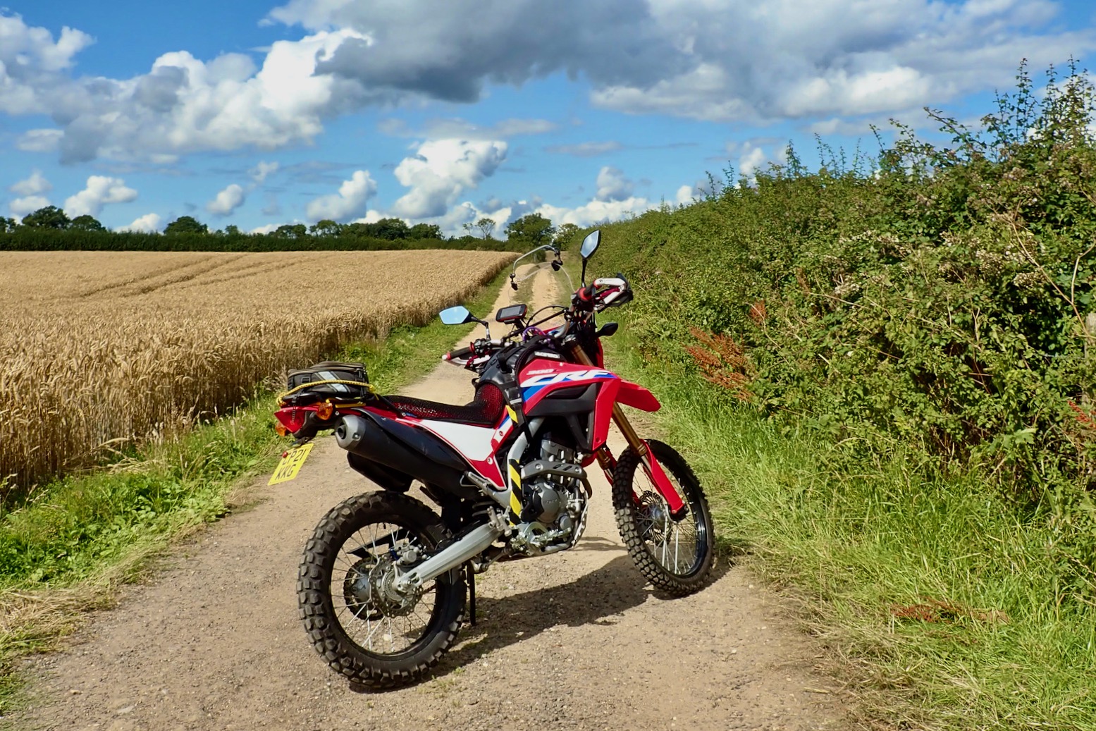
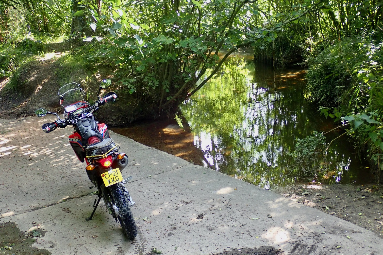
After thoughts on L
I’m getting a feel for the 300L off-road. No, really! The stock gearing feels spot on for this sort of riding; a full load might change that. But the fuelling is a bit on-offy in lower gears; good for engine breaking. I recall the WR250R (same hp) had the same issue and there were alternative, slow-action throttles or some such available. It’s an efi thing.
The stock tyres are good but I don’t think will prove very durable; iirc my CRF250L IRC rear didn’t even make 3000 miles in SW USA. As said, the Rally Raid suspension seems dialled in, or if not it won’t be hard to do so. I notice the throttle cables jam solid on full left lock as a result of the taller Renthals; to be expected for a stoop-free standing stance – without risers! Easy to fix or not that important. On the road it zips up to an indicated 60 – going faster needs a big yank on the handle; it’s a 286cc after all.
I do wonder about this 19er front business, but trying is knowing. In return for on-road stability I hope the steering won’t get too sluggish on the trails. I have a spare front hub which I was going to lace to an unbranded 19-er and flog, but I think now I’ll fit an SM Pro 21 MT (tubeless; and at £170, £50 cheaper than an Excel) instead. Then I’ll have a three-wheel full tubeless set up: 17 + 21/19. The 2.15 SM Pro MT is half an inch wider than the stock 1.60 x 21 which will mean a heavier, wider tyre that won’t help trail agility, but might aid faster, bend swinging stability and wear.

I’m still not fully satisfied with my seat bodge. It has a dip in the front so it’s either fully sat back (OK for high speed) or perched up front. This may be where they shaved it down to make it lower. It would be nice to have a fully flat seat to slide around on to spread the pain.
A mate sent me a pic of his normal L seat (left) and there is definitely more meat to it; he’s my weight and finds it fine. I could’ve got mine rebuilt locally in leopard skin metal flake, but decided to simply buy a new black OEM 2023 seat from Partzilla discounted to $105 (30% cheaper than a red 2021 seat). Add shipping and UK tax and that’ll be about £150. I ought to get most of that back for my low seat.